Saturday, December 08, 2007

Toys for Tots MMRC Run


A small part of the starting field for the ride shown above.

(L to R) Deanna, Rhonda, Rick, Kris, Jermaine, Melonie, John.
We did the local Toys for Tots run, second year for the club, first year for me.
We met up at Starbucks, and rode down to Walter Park to the start point. The bikes were still rolling in steadily a half hour after the official start time. There were four parking lots full of bikes!

This fellow with the cool mask was one of a few thousand others we rolled with to the Pasadena Fairgrounds.....

Here we are gathered at the end. The weather was good, even a little hot for a December ride. Probably around 75 degrees. The police support was great, they shut down all Northbound lanes of I-45 for us!

The food choices were somewhat lacking at the end, so we retired to a country restaraunt in Deer Park for eats afterward. There we were treated to a chance to check out "Mike the Bike", June's trike, which started life as a 750 Honda Shadow.
In all we ended up with four members and five guests at the ride, to finish off the 2007 club rides.

Saturday, October 06, 2007

Boundry Peak, Nevada

Here's my trip report for the Boundry Peak climb. I figured the first week in October would be a good time to beat the heat and attempt this peak. That was ONE of my mistakes that day. We drove over from Vegas, and dropped by the trailhead for a view of the next mornings climb.


This view is from about 45 miles out. I couldn't tell from here if it was blowing snow, clouds, or fog at the top.

As we got closer, it got colder, and yes, it was blowing snow at the top. It was a hard cutting wind. About 28 degrees and 20MPH winds. I was dreading the next day.


This was Dee's first major climb. She really didn't know what to expect. Here we were enjoying a nice dinner the night before.


Here's Dee again, at the trailhead sign on summit morning. It started out pretty cold, just below 30 degrees. Luckily for us, the wind had died down. I was so relieved. I couldn't imagine her having to fight that and the elevation gains. Sidenote: Go ahead and rent a four wheel drive for this one. The little economy car I rented bottomed out repeatedly!


The first mile or so is fairly level. It does offer multiple paths, many unmarked options, but the main trail is USUALLY easy to follow. A couple of short backtracks could be neccesary, however.


I recommend looking back often during this first mile. On your return, it will help you in getting back if you save a mental picture. It could be confusing. I kept remembering Diane Winger in the "Highpoint Adventures" book being lost here. I didn't want to relive that. Here's looking back from the picture taken above.


This tree is typical of an old forest on the left as you approach the obvious trail almost straight ahead. I read a trip report the night before that recommended trying this left side approach to avoid the steep approach in front. Don't do it.
I'll tell you why later.

Here's where I veered left. Sure, it is easier down here in the trees, but you can't really see above them. It gets much harder there, but you certainly don't want to go back down and start over.


Now I'm pondering my choice. Instead of climbing this increasingly steep, and loose rock terrain, we (I) decided to cut ACROSS the boulder strewn steep mountainside.
Warning: mountainside is much larger than it appears. Say, well over a mile. This added at least 3-4 hours to our day.


Here's Dee scrabling across the boulder field. They ranged from the size of a basketball to the size of a refridgerator. We fell often, and the going was slow.


Here I'm being cursed. By both Dee and myself.


Finally, a look up at the last leg. It's only a little over half a mile. It's now about 3:30. I want to summit, but I'm afraid of losing light and getting lost, so I give myself just under an hour. From here up I was too tired and rushed to take photos. It was very difficult scrambling.


At last, a view from the top:


And we went back down the way we should have gone up, although it was slick with snow, loose pea sized scree, and very steep. We fell some more. We even glissaded down on our bottoms at times. It was getting dark, as well. The last mile to the parking lot was difficult, but all my backwards looking at the beginning paid off.
Our trophies: two shredded pairs of ski pants....

We finally located the car. Only to get lost for another hour trying to drive back to the highway!

Thanks for going with me, Dee! I'm running out of people to highpoint with!
Hopefully in 2008 I can return to Mt. Hood, and perhaps tackle Utah...

Saturday, July 21, 2007

Mt. Hood, Oregon Highpoint


This was the next to last trip the Timberline guides offered this season. Because it was warm, just around freezing when we departed at 1AM. We left early in the AM as it's more difficult to move around on the mountain later in the day, the snow would become more slushy as it melted.


This would be the first snow accent for both myself and Eric, who went with me on the trip. We attended the one day class the day before on using the crampons and ice axe self arrest.

We were driven to the top of the ski lift area in a snow cat, which saved us a lot of plodding early on. The guides moved swiftly up the mountain, making new steps for us to follow in as they went. It wasn't until the last leg climbing up to the hogsback that we followed in the footprints of previous hikers.


It seemed like we reached the hogsback in no time at all. A few times I felt pushed, but kept pushing forward so as not to slow the others down.
Several times we heard massive rockfalls in the dark. It was somewhat unnerving as several Hood climbers had died this year. One of the regrets I had was that the guides really didn't give us any time to take photographs. We had just enough time to catch our breath and get a drink of water before moving again.

Then came the worst news: at just 700 feet below summit, our guide felt it was too dangerous and told us we'd have to turn back. It really didn't seem that bad to me, other than the rockslides we'd been hearing. I was totally disappointed to come so far without summiting. Even more so after hearing from others successful summits made the same day, by parties starting out later than we did.

The good news is you do get a discount for return attempts. Guess I'll be back next year!


View of Mt.Hood from the Washington side of the Columbia River.

Friday, April 06, 2007

Harney Peak, S.D.


This may take a while. I loved this freaking mountain. I really wasn't expecting much. After climbing Whitney, I figured everything else would be anti climatic. Wrong. This is a special mountain. I quit counting the other hikers when I got to 120, yet, it didn't seem crowded. There were lots of folks with DOGS. It was a nice crowd, and I must say, around half the hikers were gals, not what you normally find when highpointing. Guys are ok, but, they're just, well, smelly.


First of all, note the diversity of the trail. The first mile and half or so has lots of nice soft trail like this.

There are two paths leading up from the main parking lot. Go up via trail #4, the trail that passes the "Little Devils Tower", and come back down trail #9. The two trails join together for the final climb.

Due to time constraints I didn't get to do the short side hike over to the Little Devils Tower, about half a mile, I think. All the more reason to go back.


As you gain altitude, the you encounter more rock. There is still plenty of soft footing, until you get past the halfway point.


Now here's a sampling of how the trail can get pretty rocky as you near the summit. You'll find a few sections like this, that make you appreciate the earlier soft stuff.

Aliens! Is it just me, or do these formations look like a group of friendly aliens that petrified in place? Ok, maybe not. I think all of the cool rock formations are what really adds to the magic of this mountain.

Giants! Tilt your head to the left, and squint, and these guys look kinda like giants. Or something. Well, they are big, and almost seem alive. There are so many rock formations, if you're a "rock guy" like me, you can't stop taking photos. I ran out of memory card space twice.

I love moss. There, I said it. Whenever I hike, I always end up with a couple of moss photos. Here's one of them. I also like big, lush, fern beds. Call me crazy.

What's a climb without a vista? Well, this hike has plenty of vistas, like this one. Now, I do have to give you a warning. If you take the #4 trail for your ascent, there is a pretty substantial drop, at what seems like should be the two and a half mile point. At one point, I thought I had gone the wrong way, and almost panicked.

Then, as soon as it finally bottoms out, look up at the peak on the horizon, and you can see the tower on top of the peak. Only, it looks like it's still three miles away. Don't you hate it when that happens? Shortly afterward, you join up with trail #9 and begin the final ascent.


Soon you'll come to a sign letting you know you can't take your horse any further, and there you can tie it up. Then, you'll see some cliffs, go through a small tunnel and climb some metal stairs. Now it's getting real exciting. You feel as if you're about to discover something.... the Stairway to Heaven!


Just around this bend lies the tower.

Here you'll find the coolest tower of any highpoint. This thing is just awesome. Multiple rooms, doors, stairs and platforms. Lots of photo-ops. Some nice fellow from Wisconsin even gave me an ice cold beer! Talk about trail magic. That was one of the best beers I've ever had the pleasure to drink.


Here's how it looks if you kinda hang out of the top observation tower window and take a photo! Vertigo anyone? (click on this one and enlarge it)


This happy hiker is taking a break on the way back down the tower\stairs\cave section. See the contentment, and awe?


At the end of the day, this is why we climb the mountain.


Parting shot: Fly into Denver, rent a car, go to Cheyenne, Montanta and spend the night in the Plains Hotel downtown. Go on a Friday night, and go to the country bar behind the hotel, and have a beer. Or two.

You can easily hit the highpoint in Nebraska, and head up to Custer. Take the long way, through the back roads.
If you have time, do Mount Rushmore too, while you're in the area. You can easily spend a week in this area, and not get bored.

Thursday, July 27, 2006

Mt. Whitney, CA


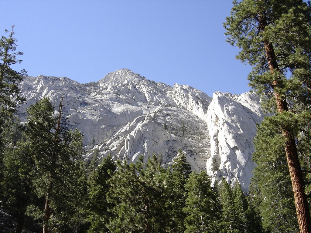
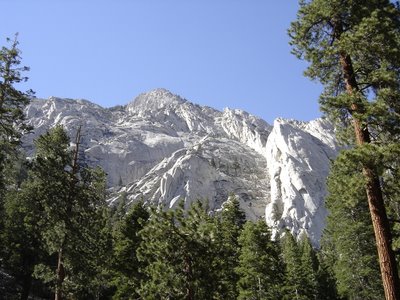
If you only do one peak in your life, do this one. (Have I said that before? If so, this overrides the previous statement.) 360 degrees of surround beauty from the trailhead to the top. It actually starts with this veiw from the parking area!


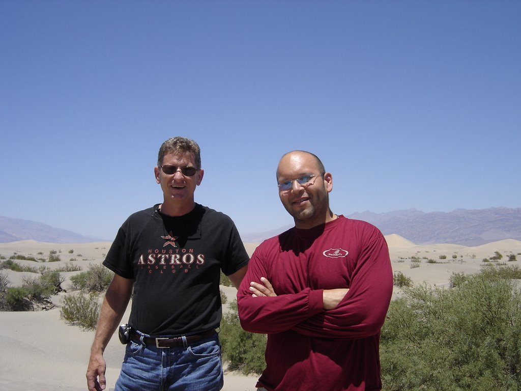
Somehow I again managed to coax my newphew, Eric (from October 2005 Arizona trip report) to join me! We flew into Vegas, rented a car, and drove straight to Lone Pine Ca and spent the night before in a nice bed. (The elevation is only 3000' or so, but it didn't seem to cause much of a problem). This photo was in Death Valley, which you'll pass thru if you come in from Vegas. Isn't it wonderful, the lowest point the lower 48 states so close to the highest!
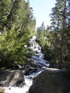


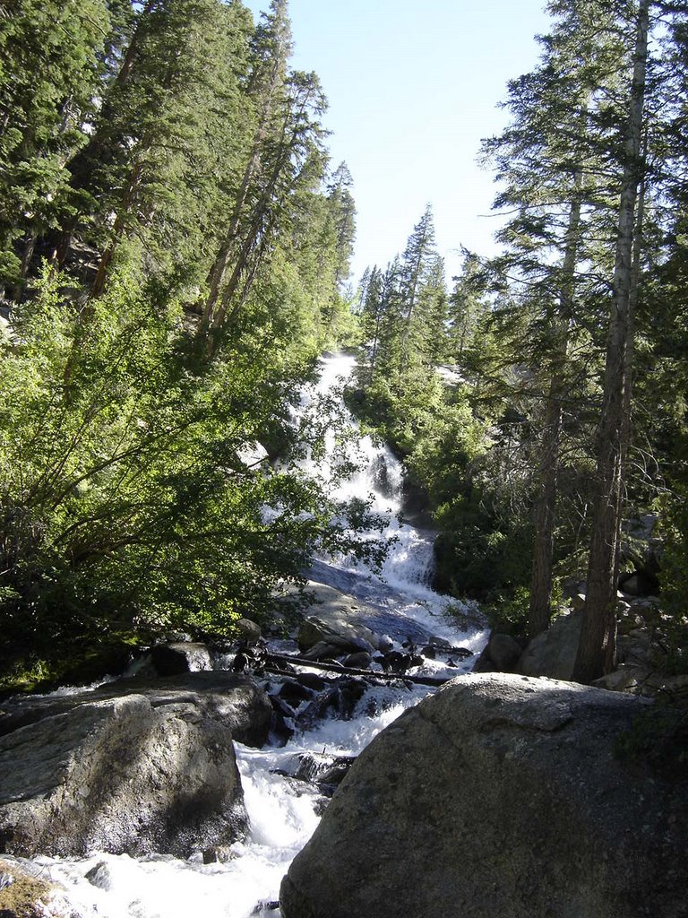
You'll be rewarded with many lovely waterfall views, they pop up everywhere along the way. This is the first one. You get to enjoy it from a several different viewpoints. Along the route there are MANY water crossings. I came across a study that stated most of the water had been tested and was drinkable non-filtered. I know many purists (or are they really purists?) will have a hard time with this, but we decided to go for at and drank straight from the stream at almost every crossing. We had no ill effects from this.
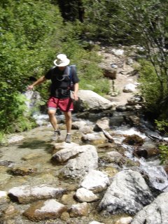


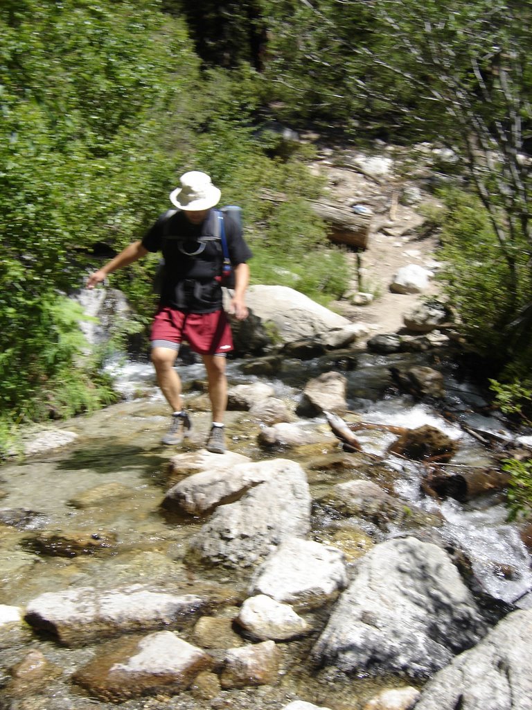
This is the first water crossing. Watch your step!


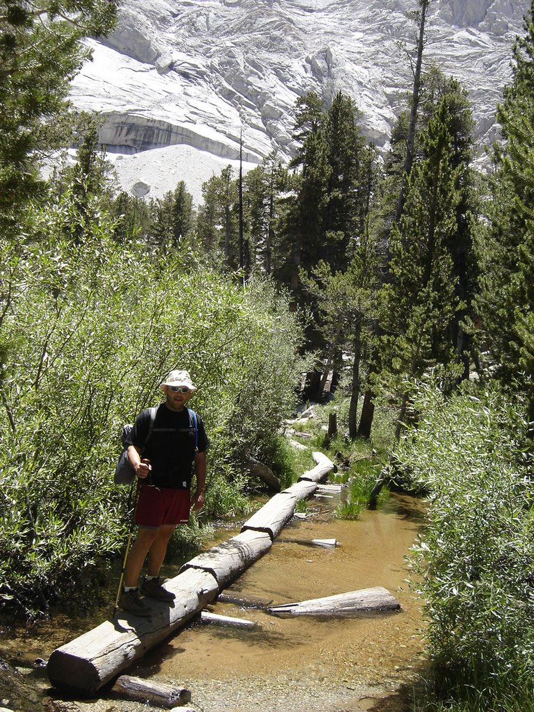
Followed by this series of hewn logs, which is much longer than it looks. The diversity along this hike is much more than most. Every corner offers a surprise...

You've probably already read that you have to enter a lotto
to get a permit. Not to worry, perhaps we were just lucky, but we got a permit our first try, and on one of our preferred weekends. (You get to list several alternate date \ ranges.
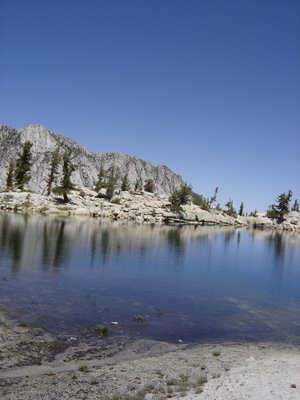

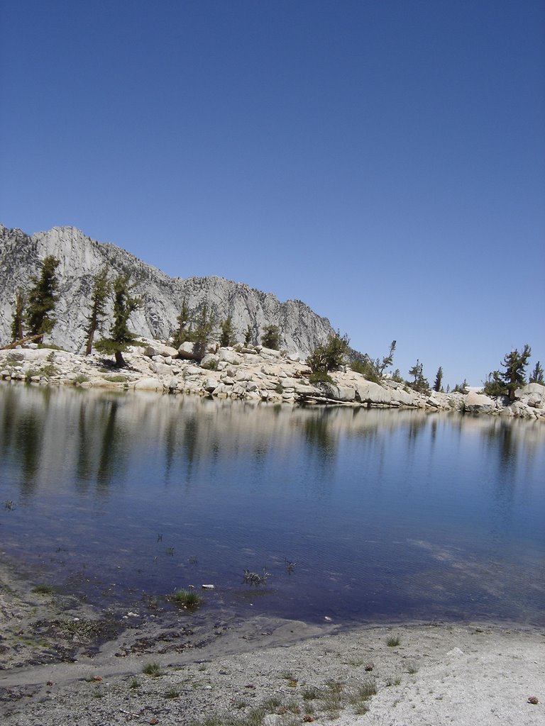
Bring plenty of film (or memory stick space) as you'll find many breathtaking views, such as Lone Pine Lake, to fill your scrapbook when you get home.


This is a great spot to stop for a breather. In fact, if you just hiked to this spot, had lunch, and turned around and went back, this would still be a wonderful hike.


However, you're only about a third of the way to the top, so there are a lot more vistas to awe you.
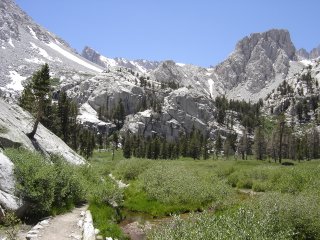


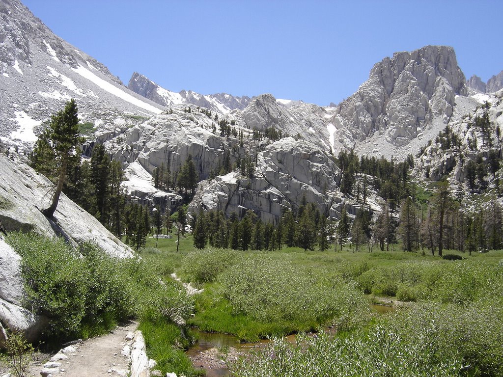
This meadow lies just past Lone Pine Lake, I wish we had had more time here, but we wanted to get to a spot another mile or so, just past the treeline for our camp. The water here is plentiful, no need to carry a lot.
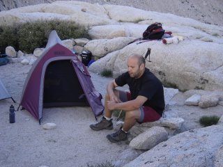


After climbing out of the meadow, there is a great spot to camp, away from the group camps, and just shy of halfway to the top. There are some level bivy spots on each side of the trail, within a short walk of a great trailside water stop.
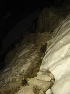


We started out at about 4:30 am, with enough moonlight to render our headlamps useless. We switched them off shortly after passing up our first snowbank.
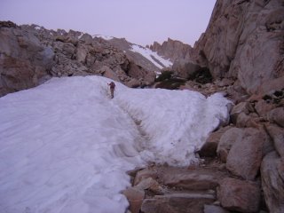


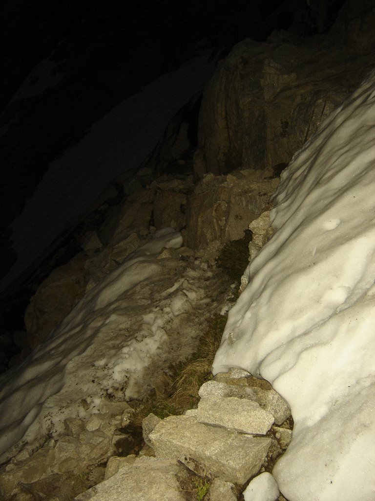
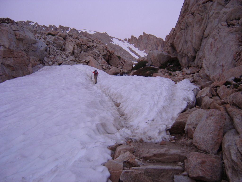
The snowbanks kept getting more and more interesting. Keep in mind, this is mid-summer.
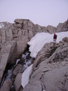


As the melting snow rushed under this lump of snow forming a fairly loud waterfall, I could just see it crumbling beneath us. Fortunately, it didn't.

I did, however, walk very SOFTLY.....


The sun was still just barely peeking over the horizon behind us.


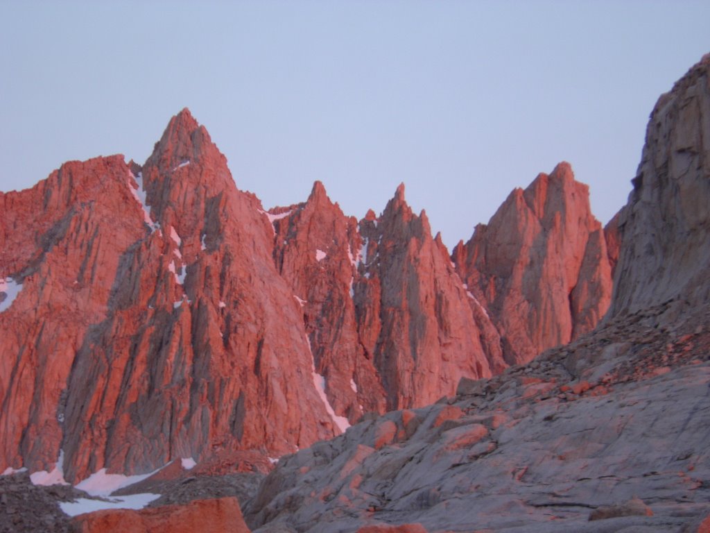
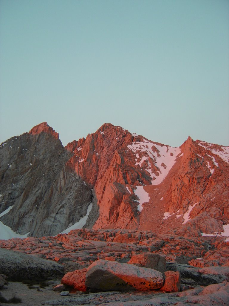
And the morning climb gave away to a short, flat section, which offered up my first alpenglow views!
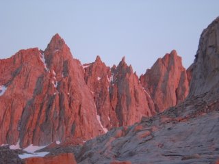


Whenever I see shots like this, I wonder if they were tweaked. Well, they don't have to be. It's very surrealistic.


Between the lack of oxygen, and the surroundings, you get somewhat of a natural high here.
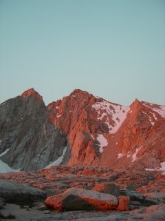


Once sunrise is over, the fancy colors fade, and everything


returns to it's original grey and and white chalk.


Its fun while it lasts, though.

The easy part is about to end, and the real climbing is about to begin.
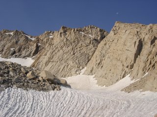


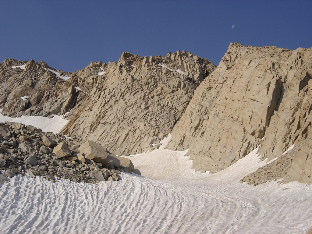
This nice yet rugged snowfield lies just off to the left of the trail, just before the switchbacks begin.

It looked hard and choppy, yet, almost skiable.

I was about a half mile long, I'd estimate.


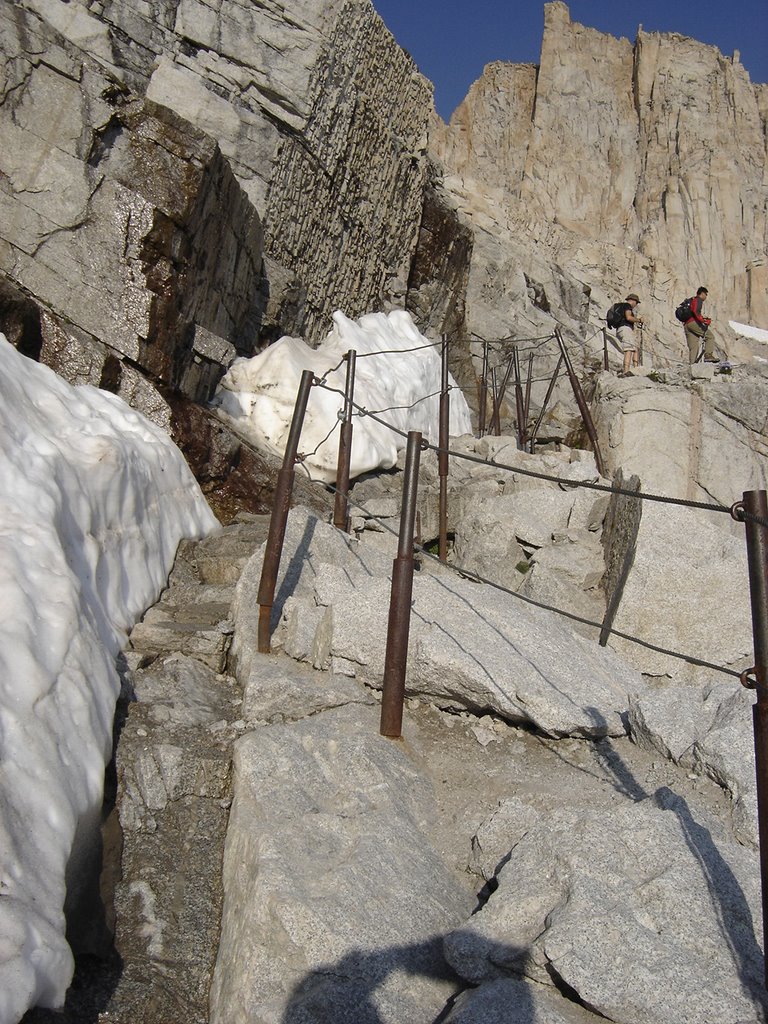
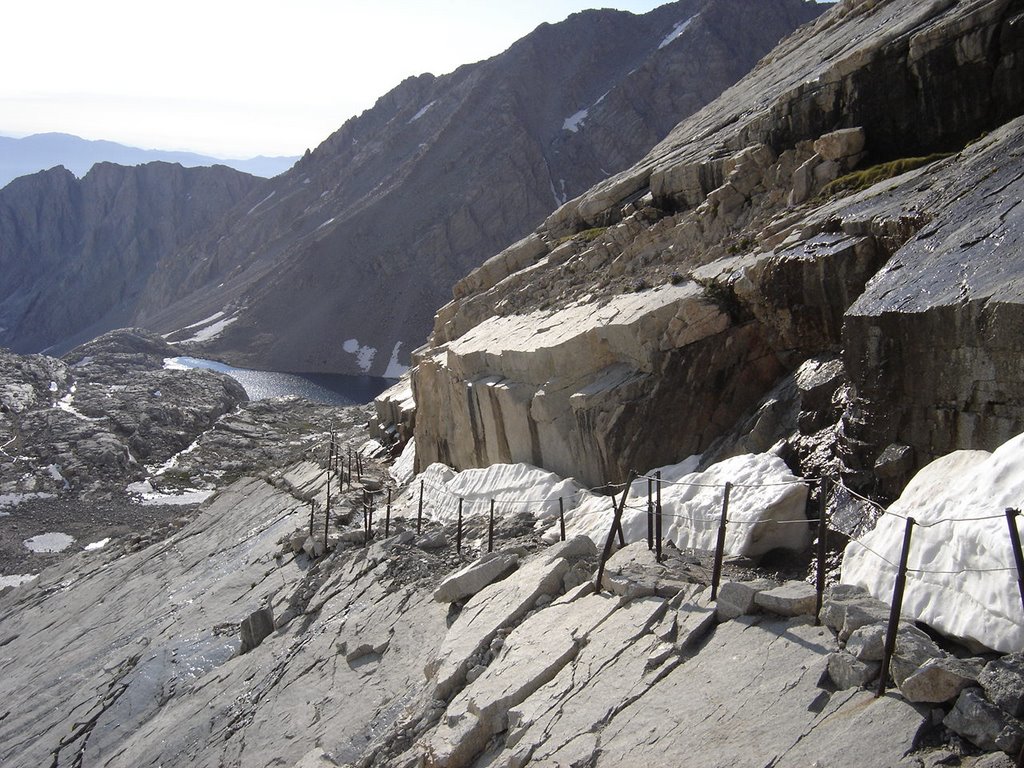
This section of cables and poles looks more difficult than it really is. Here I'm gaining on a couple of other climbers. Overall, everyone was pretty spread out, considering the number of people per day who summit. The experience is still very personal.
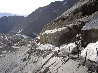


A look down from the cables, back towards Trail Camp. Be sure to fill up the water bottles at the bottom of the switchbacks. No more easy water from there up.
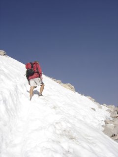


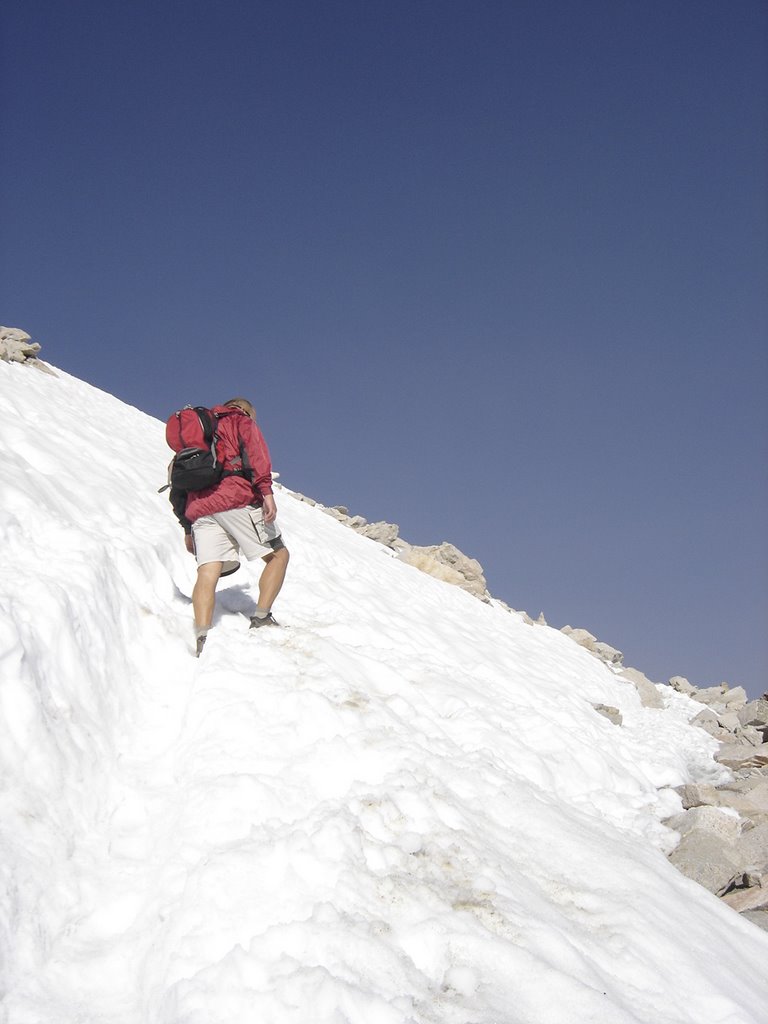
This was clearly the most difficult snowbank to navigate. After this, it was just a long, rocky climb. This is about the 2/3 rds of the way point.
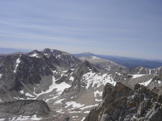


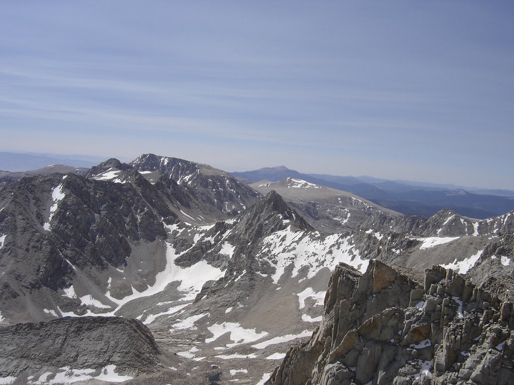
The views get better and better, yet, we were becoming very tired. Lack of oxygen becomes more apparent.
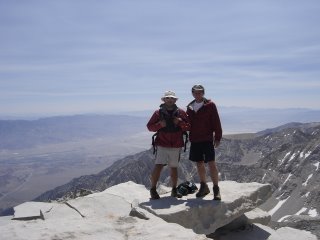


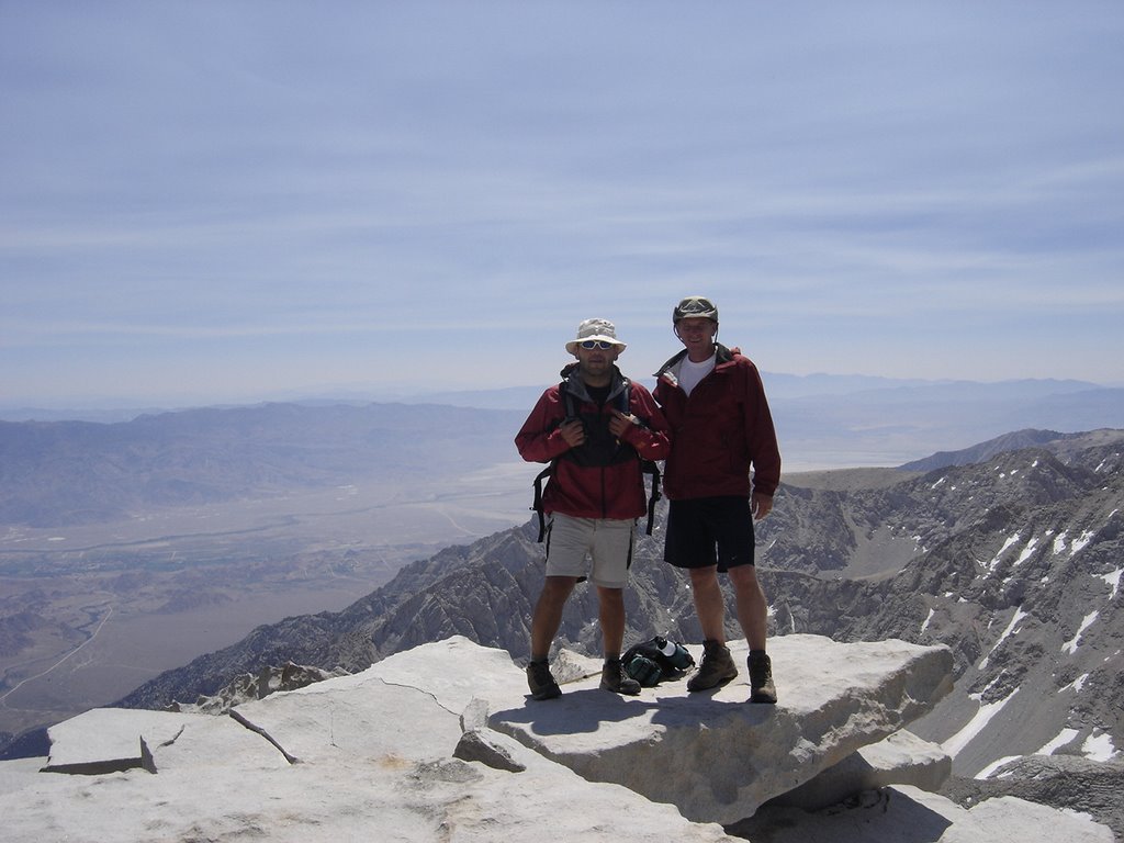
Victory at last! Rick and Eric at the Summit of Mt. Whitney! We headed back down, and became re-energized when we got about half way down the swichbacks. We had planned to camp again, but decided on a one hour nap back at camp. From there we hiked on out to the trailhead.