http://weather.yahoo.com/forecast/USNM0315.html
Welcome to the highest peak in New Mexico, at 13,161 feet. This is one account of my attempts to climb each of the highest peaks in the lower 48 states. This is only my eighth, so I have quite a few more to go! My pal Tucker and I flew over from Houston for a long weekend.
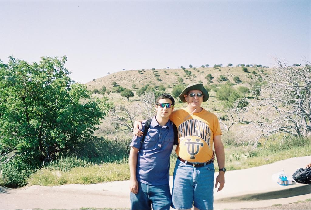
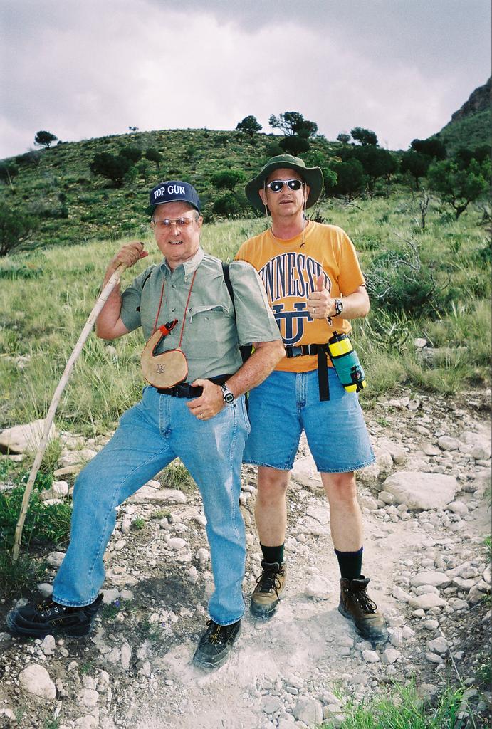
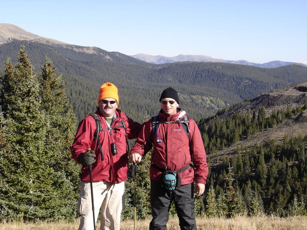
Tucker at the trail head the day before the climb. You can get some great room rates at the Taos Ski Area in the off season. This approach is from the south-southwest.
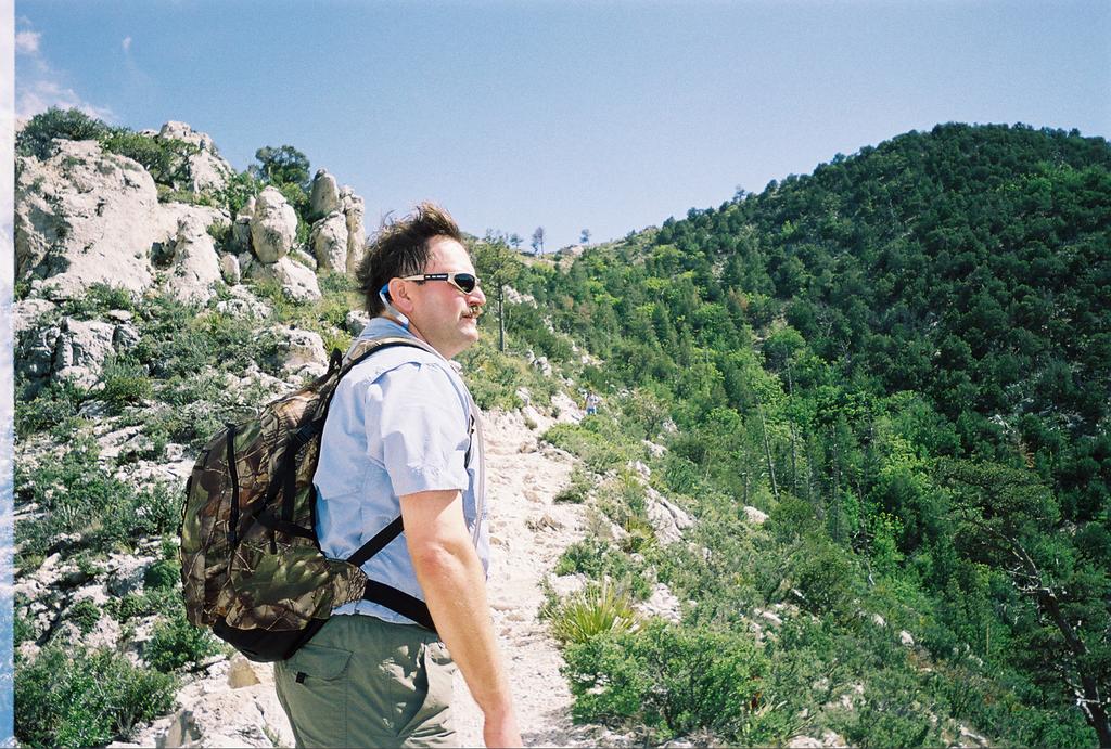
Me at the trailhead, the day before. In case you're wondering, you can't see Wheeler Peak from here. That doesn't happen till several hours later. It is visible from the Angel Fire ski area from the North side.
There are shorter routes up this mountain than the one we took (via the trailhead at the Taos Ski Area) and you may want to consider them! This turned out to be a long day. It's a LONG fifteen miles. You may want to consider coming up from Williams Lake to shave off several miles - as long as you don't mind fighting your way up a steep scree-strewn incline, crossing private land, and missing out on some great views. Nah, on second thought, take the long way, it's worth the extra steps.
We chose the longer route as I wasn't in the best of shape at the time. (Note belly in photos.) The elevation gain is 3771 feet on this route, and you also get an opportunity to bag three other peaks along your way: Bull of the Woods Mountain at 11,640, Frazer Mountain at 12,613, and Mount Walter at 13,133 almost a "twin" of Wheeler. So there you go, four peaks over 10K in one or two days depending on how worn out you want to be when you're finished.
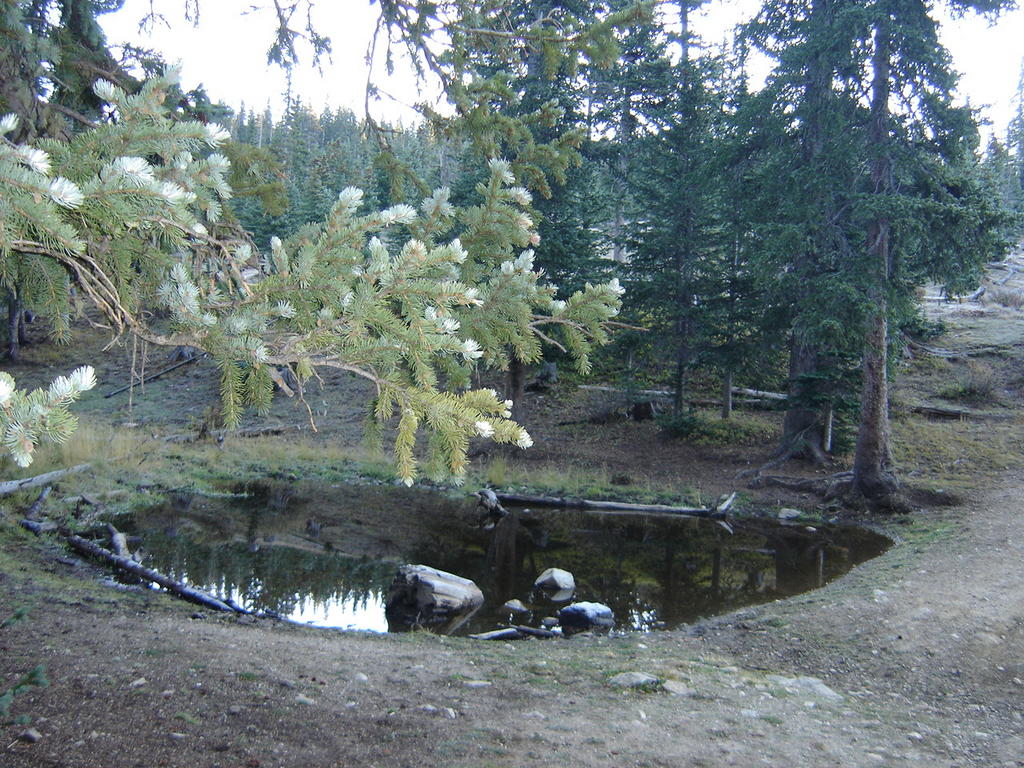
There's a nice campsite just before the first peak, but it's too early to think about camping here. You'll see a nice little "alpine" pond before the trail continues its ascent. If you want to camp and make it a two-day trip (which I highly recommend), there's a better site approximately three miles further.

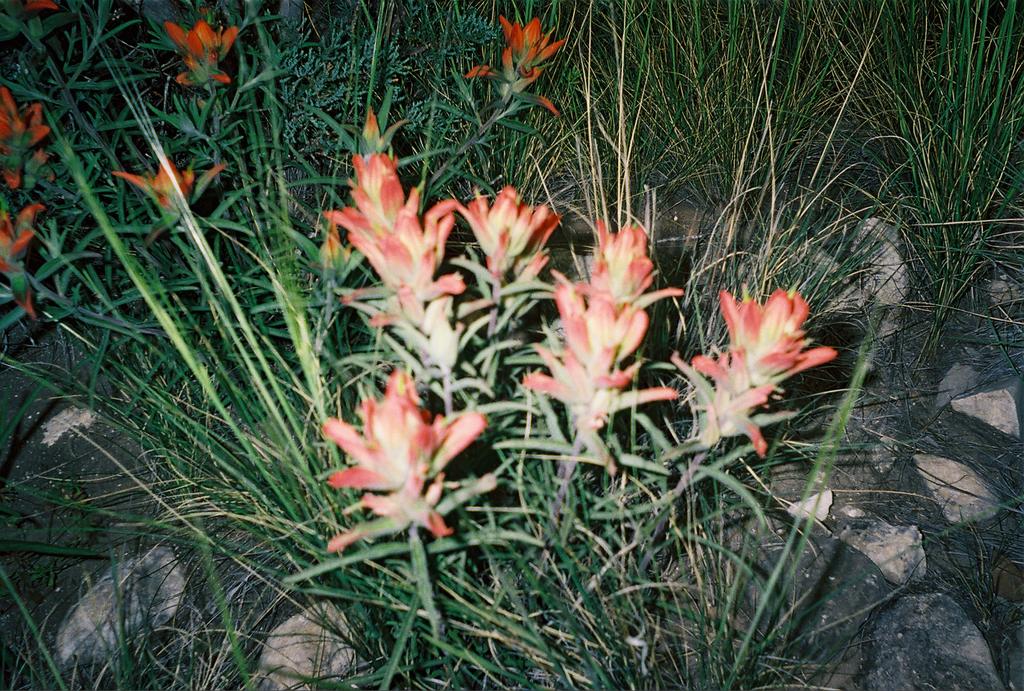
As you continue past the pond, the trail steepens, but it's just a gentle climb for the next three-quarter miles or so. This little bird kept following us along. He was so friendly and used to being fed by hikers, he let me touch him! Of course you should never feed the wild birds and animals. Of course I did.
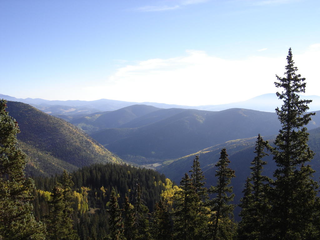
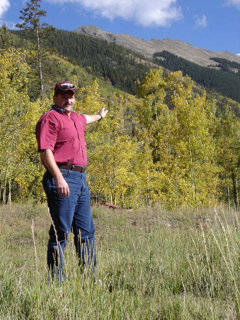
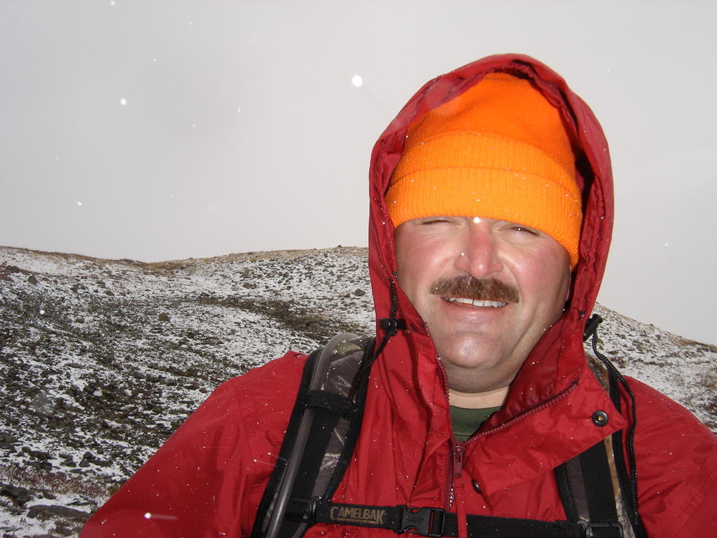
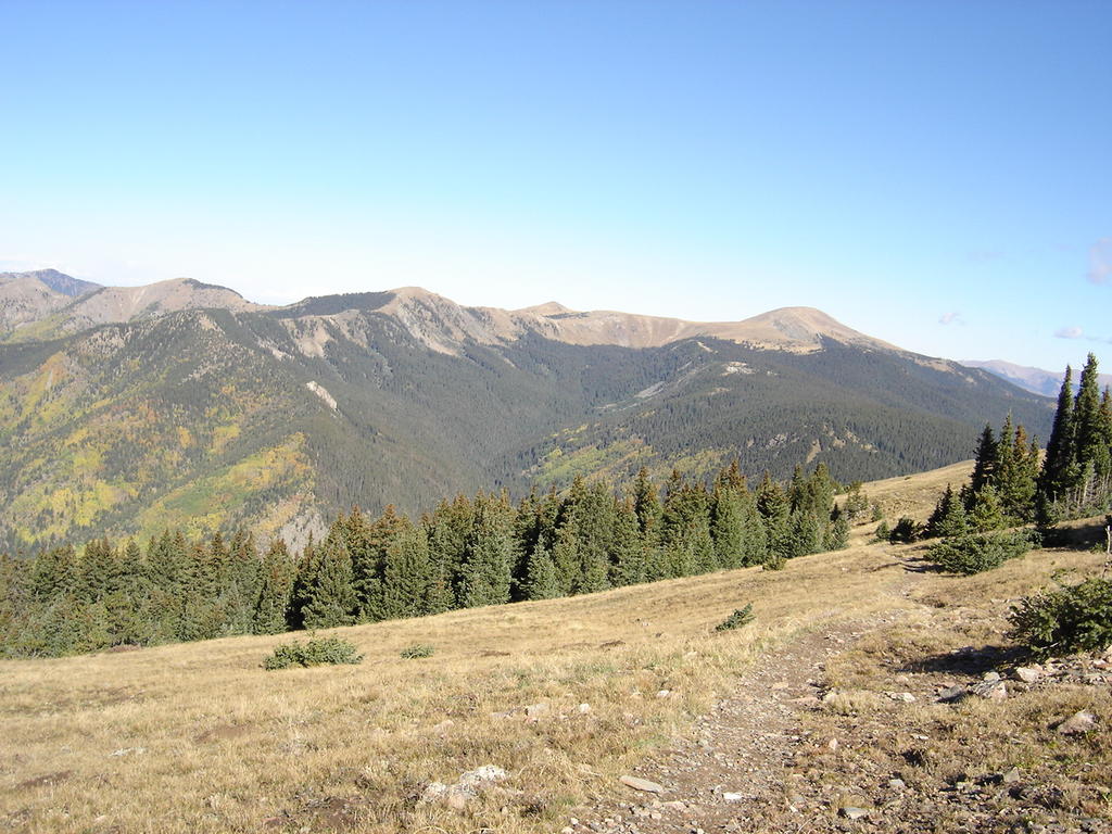
This view is just past Bull of the Woods Mountain. A good place to catch your breath and take some photos. Notice how clear and blue the sky is. That's all about to change in a bit. It's the first weekend in September; the temperature was in the mid-thirties when we started. It's now around fifty, and looks to be the perfect weather for a hike.

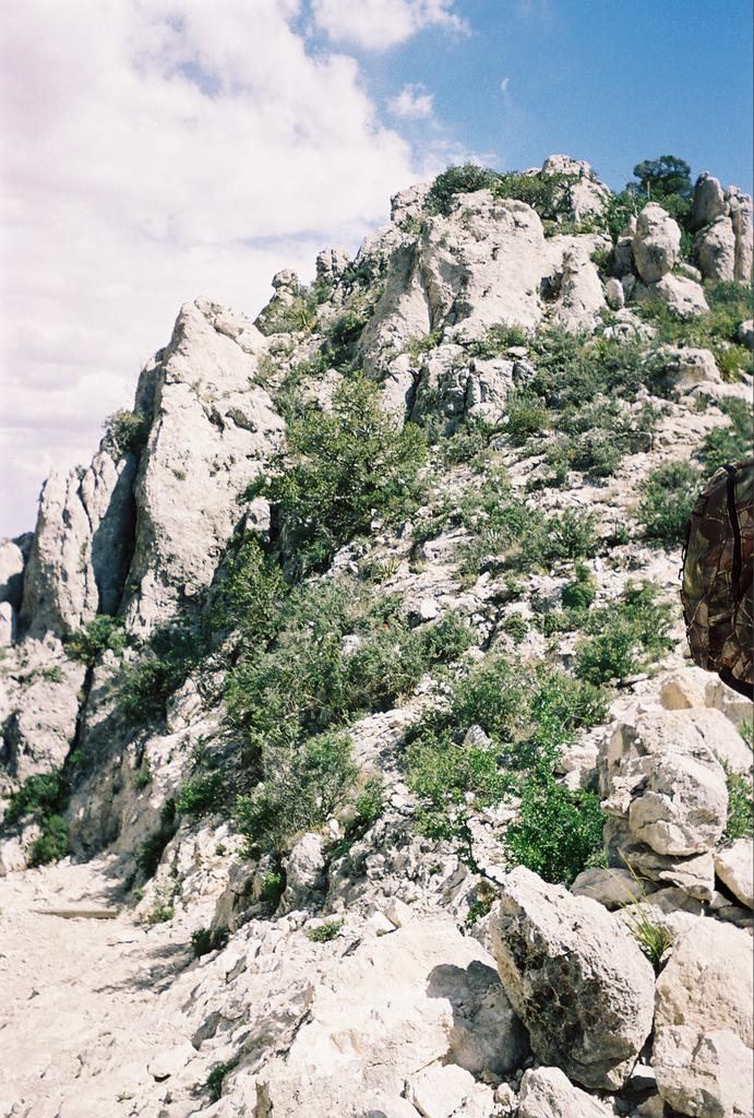
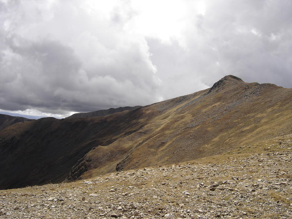
This is what should be the halfway point. If you notice the ridge in the upper part of the photo, the trail eventually does a few switchbacks and climbs up here. However, for some reason the trail cuts sharply back into the woods to the left, and descends away from Wheeler, loosing perhaps 700-800 feet! I would highly recommend making camp near the bottom of this descent, and starting fresh the next morning for the peak. Of course you can do it in one day if you want the physical challenge, but now that I'm almost 50, I'd say slow down and smell the aspen. I should have followed my own advice.
Out of nowhere come these ugly clouds! Just like the guidebooks say, avoid peaking in the afternoon. Well, here we are. Something funny started happening about this time. We're at around 12,000 feet, it's getting definitely harder to breathe, and I keep having to stop and rest. It's not that my legs are tired, I'm just exhausted, out of breath. Instead of "sitting down", I find myself just finding a spot to sort of crumple in, falling slowly off to the side of the trail.
Just before we reached Frazer Mountain, I start laughing hysterically. Then Tucker starts. We're both laughing till tears are streaming down our face. For no apparent reason, and for 10 minutes we can't stop. Is this what John Denver was singing about in "Rocky Mountain High"? It was nuts. Good thing I didn't find out about this as a teenager in the "wacky tabbacky" days! A few hikers just smiled as they "power hiked" past us, but one nice couple of ladies explained that it was just our bodies' way of taking in more oxygen. Sounds reasonable to me.

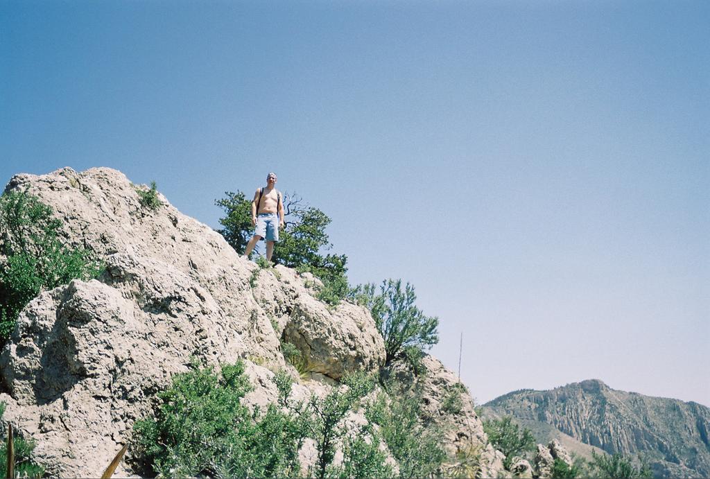
Wheeler Peak is the last peak on the left. I've almost lost my will to peak, but Tucker encourages me to continue. It's getting darker, and the wind is starting to beat the crap out of us. Rain would certainly dampen my spirits. I just keep putting one foot in front of the other, and mindlessly keep moving, stopping to rest every ten minutes.
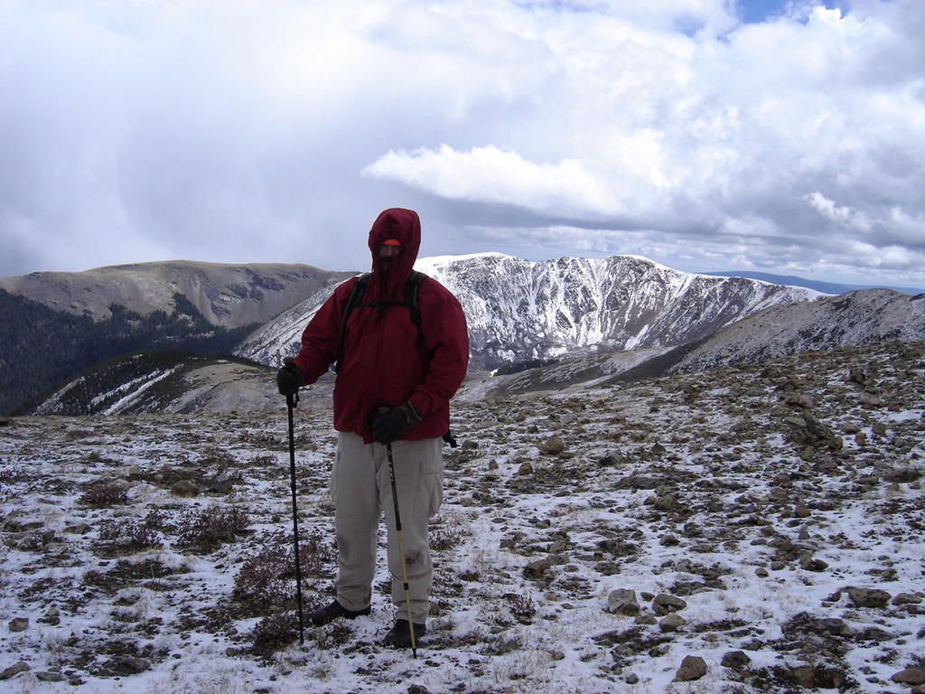
Now we are being pelted by ice, from BB to pea-sized pieces. My spirits were actually lifted though, as I had thought it would be wonderful to actually see some snow. Although not quite snow, it has a similar effect as the ground was dusted in white. There were several others hovered at the peak, and the wind was now pounding us at about fifty miles an hour. Then there was a flash of lightning and rumble of thunder. This was dangerous. Another hiker yelled out "hit the ground, I felt that one", and I immediately did so.
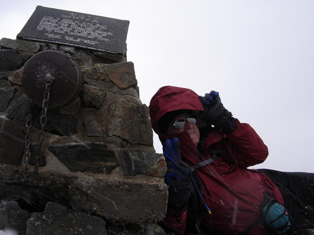
Me lying at the summit, the wind wants to blow me off the top!
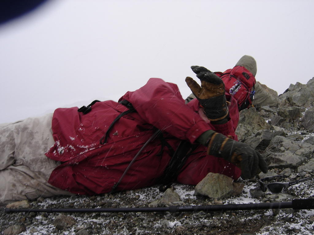
Tucker is trying to shield his face from the blowing ice, which stings any exposed skin it can locate.
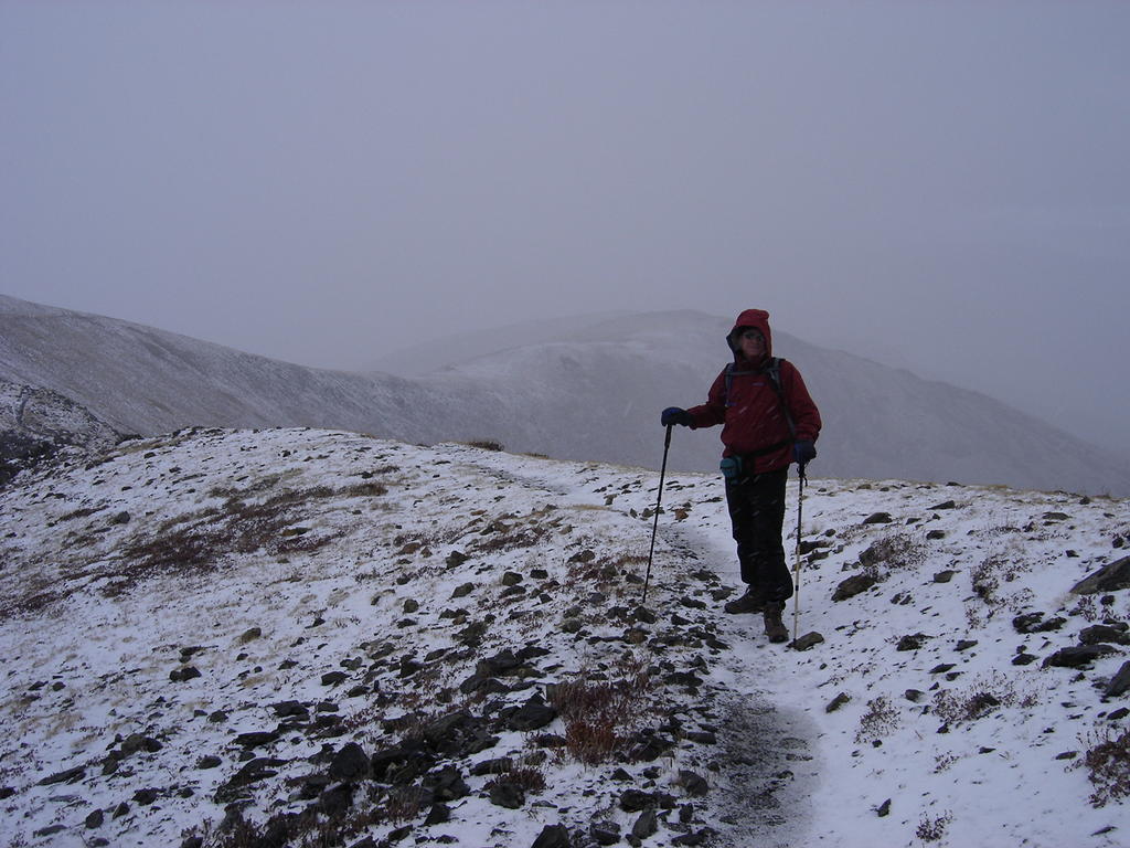
Finally, the wind dies down enough to start the trip back down. The adrenalin
has given me a little burst of energy. We walk a half mile and find some shelter from the wind to have a snack. Wheeler is in the background.
Just as quickly as it showed up, the storm starts to pass, and the sun peeks through.
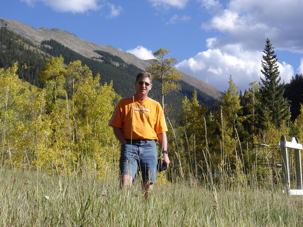
Going back into the Bull of the Woods pasture, I feel a new burst of energy, and settle into a light jogging pace. I'm sure it's because my body is happy to have some air to breathe again. It seems like under 12,000 feet is where I work the best.
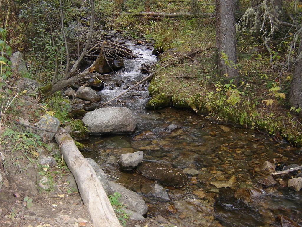
I finally get to see the stream that I could only hear when we left the trailhead at just before daylight this morning.
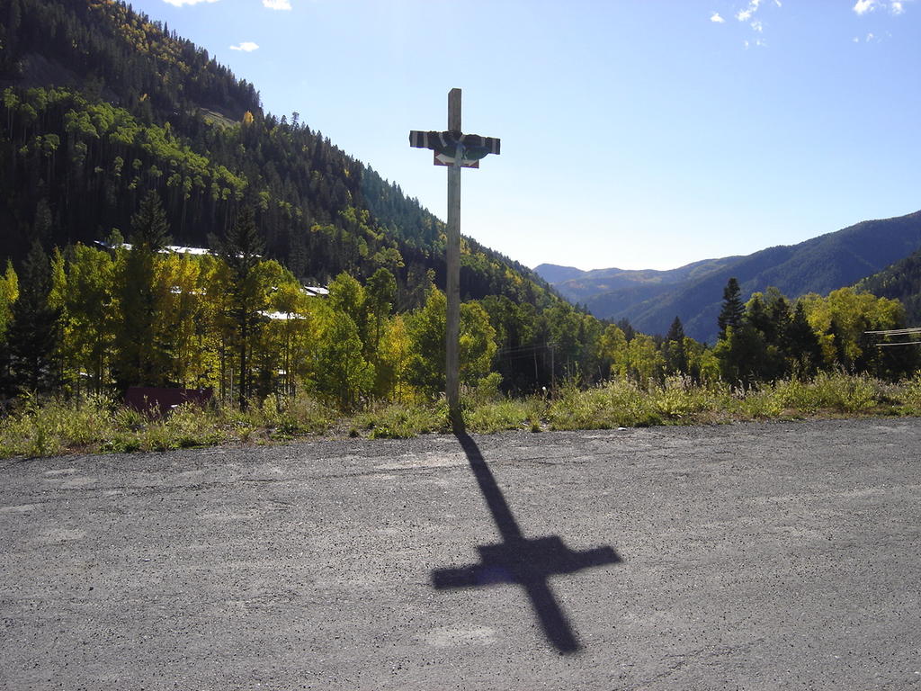
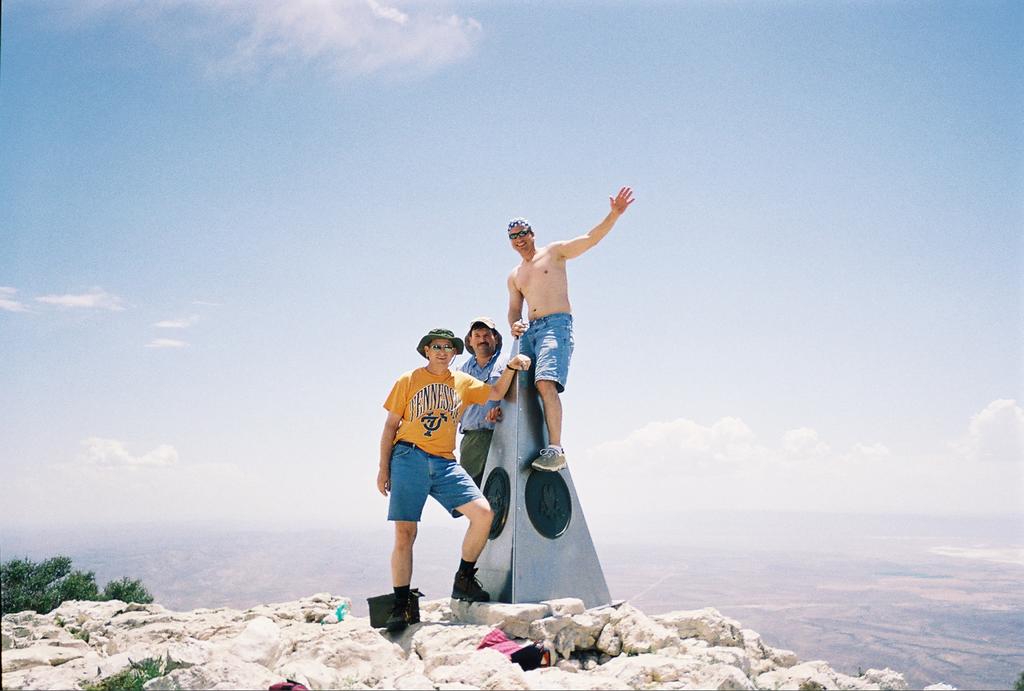
Back to the parking area. I thought the cross made a nice photo. See you on the trail!
In closing, I have to give a plug to the best hiking boots I've ever used. Now after 8 highpoints, and poking around in the snow, I have to highly recommend the Vasque Zephyr GTX