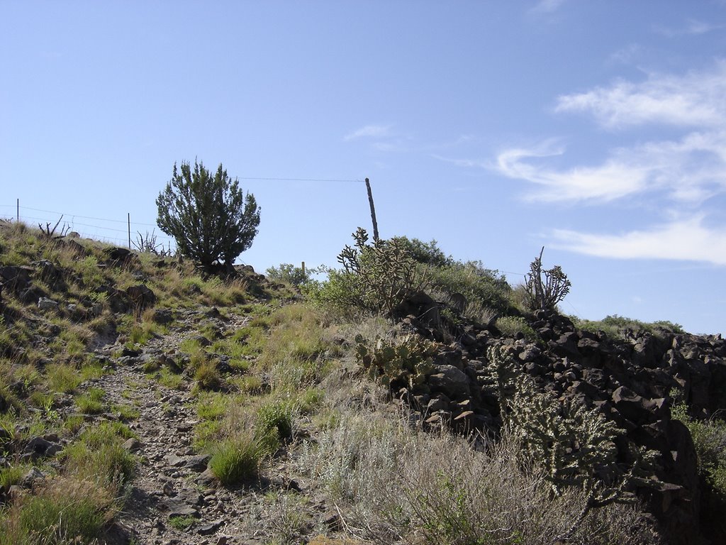
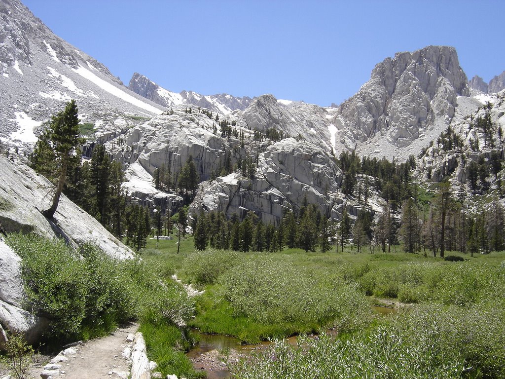
If you only do one peak in your life, do this one. (Have I said that before? If so, this overrides the previous statement.) 360 degrees of surround beauty from the trailhead to the top. It actually starts with this veiw from the parking area!
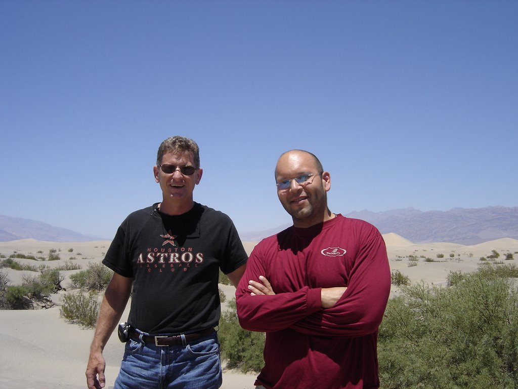
Somehow I again managed to coax my newphew, Eric (from October 2005 Arizona trip report) to join me! We flew into Vegas, rented a car, and drove straight to Lone Pine Ca and spent the night before in a nice bed. (The elevation is only 3000' or so, but it didn't seem to cause much of a problem). This photo was in Death Valley, which you'll pass thru if you come in from Vegas. Isn't it wonderful, the lowest point the lower 48 states so close to the highest!

You'll be rewarded with many lovely waterfall views, they pop up everywhere along the way. This is the first one. You get to enjoy it from a several different viewpoints. Along the route there are MANY water crossings. I came across a study that stated most of the water had been tested and was drinkable non-filtered. I know many purists (or are they really purists?) will have a hard time with this, but we decided to go for at and drank straight from the stream at almost every crossing. We had no ill effects from this.
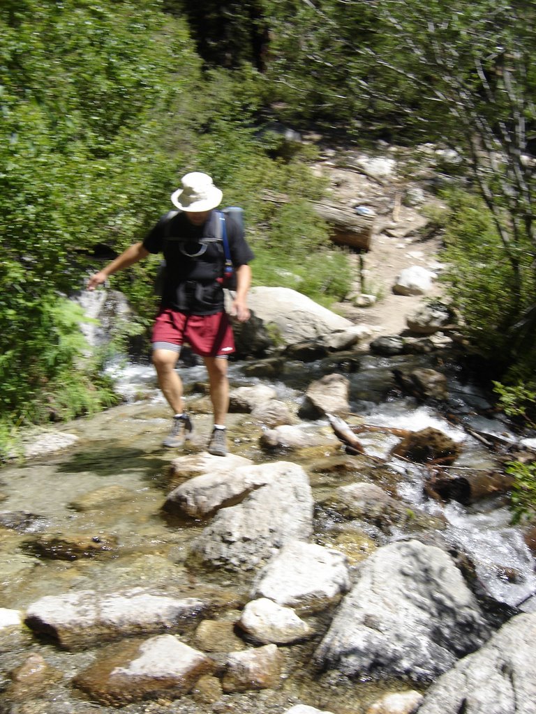
This is the first water crossing. Watch your step!
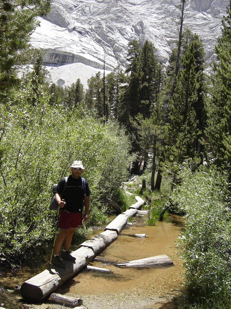
Followed by this series of hewn logs, which is much longer than it looks. The diversity along this hike is much more than most. Every corner offers a surprise...
You've probably already read that you have to enter a lotto
to get a permit. Not to worry, perhaps we were just lucky, but we got a permit our first try, and on one of our preferred weekends. (You get to list several alternate date \ ranges.
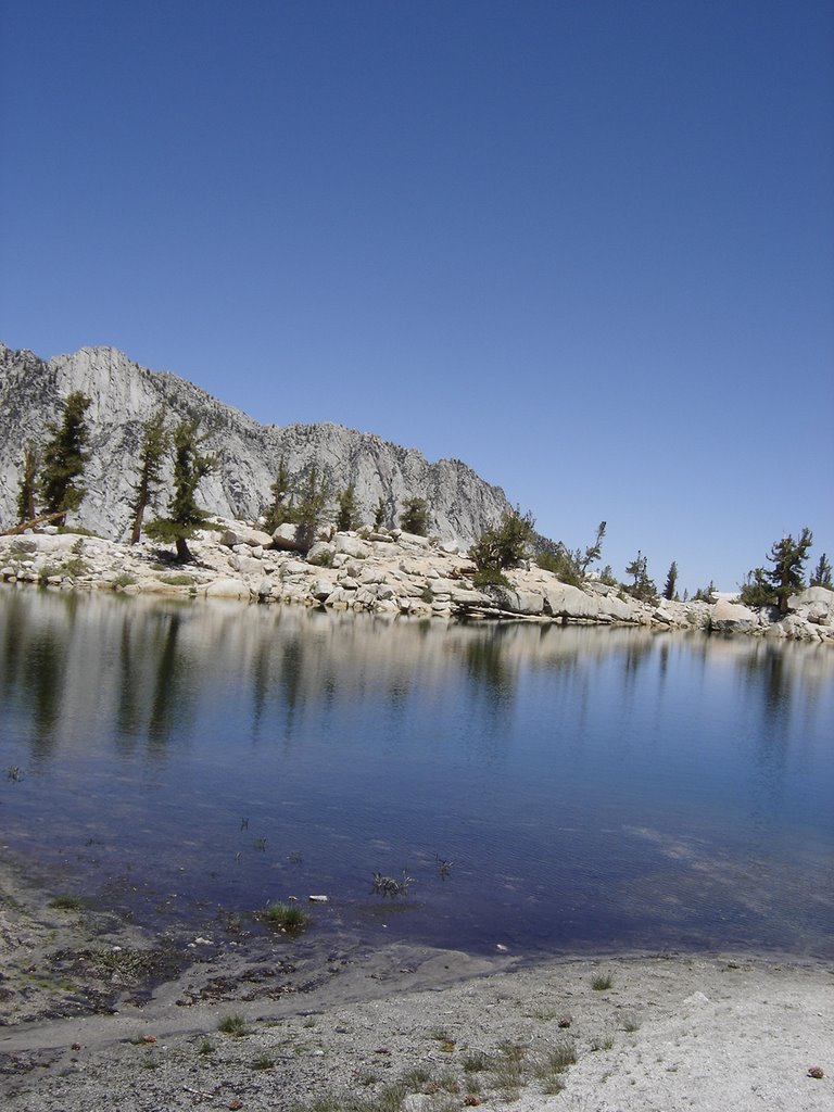
Bring plenty of film (or memory stick space) as you'll find many breathtaking views, such as Lone Pine Lake, to fill your scrapbook when you get home.
This is a great spot to stop for a breather. In fact, if you just hiked to this spot, had lunch, and turned around and went back, this would still be a wonderful hike.
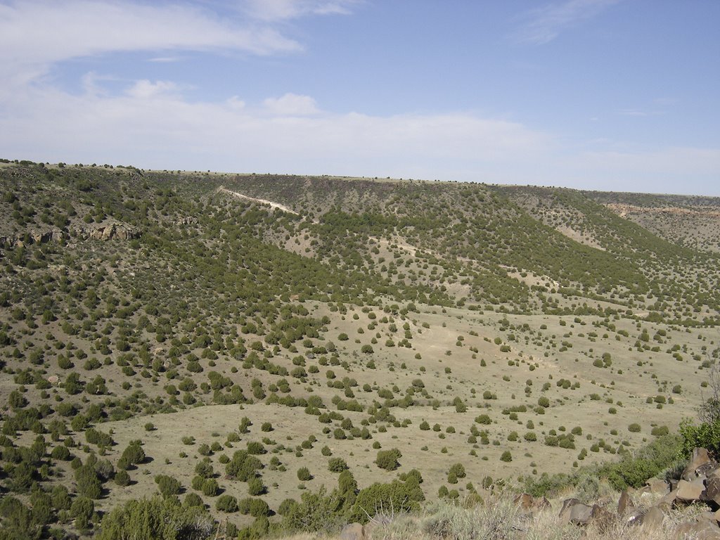
However, you're only about a third of the way to the top, so there are a lot more vistas to awe you.
This meadow lies just past Lone Pine Lake, I wish we had had more time here, but we wanted to get to a spot another mile or so, just past the treeline for our camp. The water here is plentiful, no need to carry a lot.

After climbing out of the meadow, there is a great spot to camp, away from the group camps, and just shy of halfway to the top. There are some level bivy spots on each side of the trail, within a short walk of a great trailside water stop.
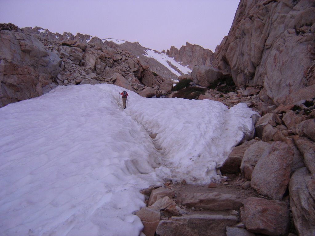
 We started out at about 4:30 am, with enough moonlight to render our headlamps useless. We switched them off shortly after passing up our first snowbank.
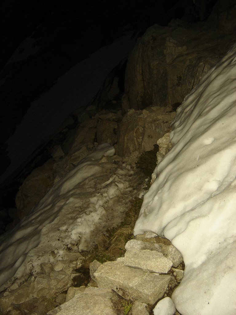
The snowbanks kept getting more and more interesting. Keep in mind, this is mid-summer.
 As the melting snow rushed under this lump of snow forming a fairly loud waterfall, I could just see it crumbling beneath us. Fortunately, it didn't.
I did, however, walk very SOFTLY.....
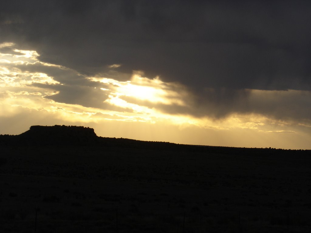
The sun was still just barely peeking over the horizon behind us.
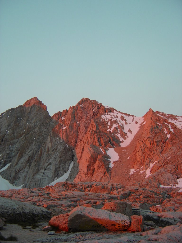
And the morning climb gave away to a short, flat section, which offered up my first alpenglow views!
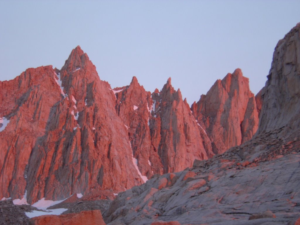
Whenever I see shots like this, I wonder if they were tweaked. Well, they don't have to be. It's very surrealistic.
Between the lack of oxygen, and the surroundings, you get somewhat of a natural high here.
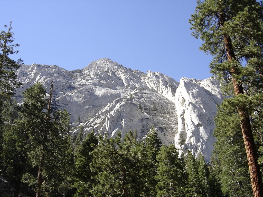
Once sunrise is over, the fancy colors fade, and everything
returns to it's original grey and and white chalk.
Its fun while it lasts, though.
The easy part is about to end, and the real climbing is about to begin.
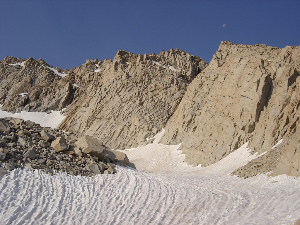
This nice yet rugged snowfield lies just off to the left of the trail, just before the switchbacks begin.
It looked hard and choppy, yet, almost skiable.
I was about a half mile long, I'd estimate.
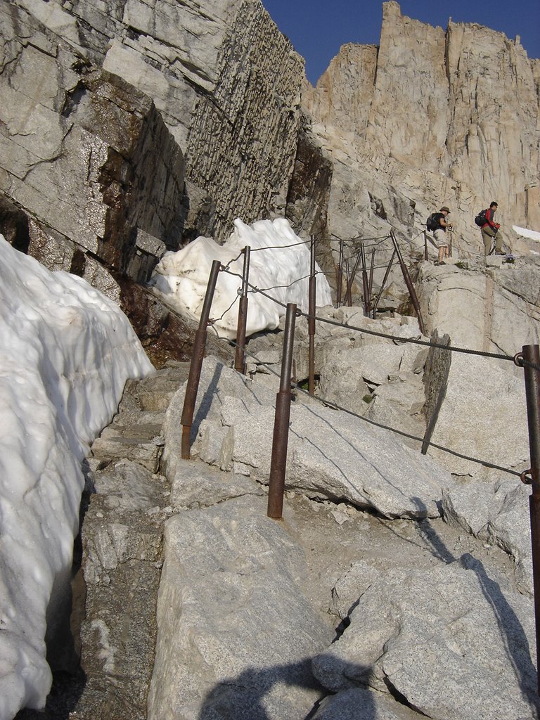
This section of cables and poles looks more difficult than it really is. Here I'm gaining on a couple of other climbers. Overall, everyone was pretty spread out, considering the number of people per day who summit. The experience is still very personal.
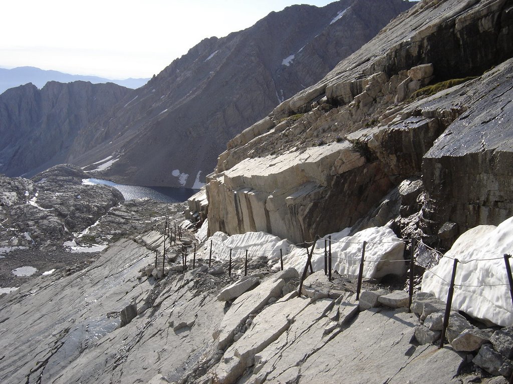
A look down from the cables, back towards Trail Camp. Be sure to fill up the water bottles at the bottom of the switchbacks. No more easy water from there up.
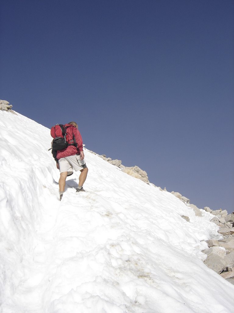
This was clearly the most difficult snowbank to navigate. After this, it was just a long, rocky climb. This is about the 2/3 rds of the way point.
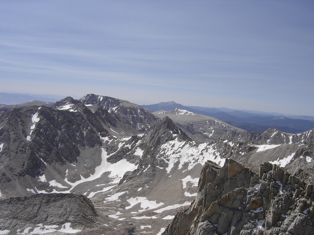
The views get better and better, yet, we were becoming very tired. Lack of oxygen becomes more apparent.
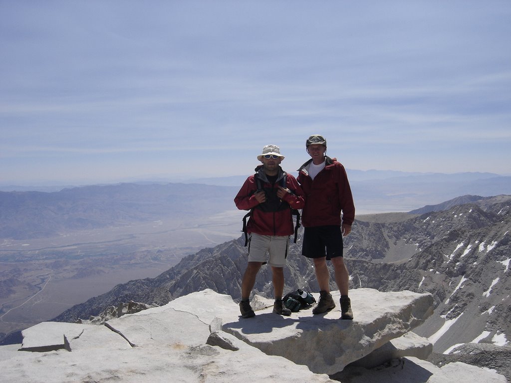
Victory at last! Rick and Eric at the Summit of Mt. Whitney! We headed back down, and became re-energized when we got about half way down the swichbacks. We had planned to camp again, but decided on a one hour nap back at camp. From there we hiked on out to the trailhead.