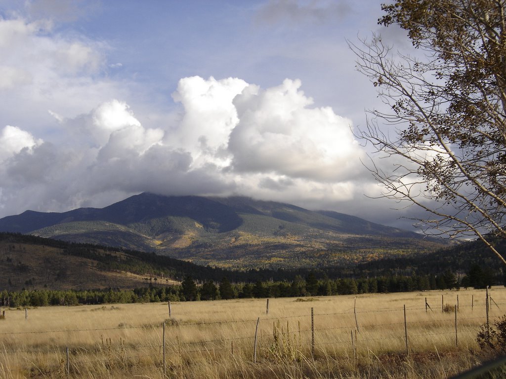
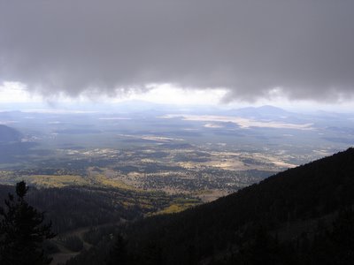
This view shows the cloud that dominated about half of the climb. It doesn't look like it's 12,633 from here, does it? The elevation here is about 8,500, so it just looks like another little "4k footer" from here.
Some good ol boy at the trail head told us it was only about a 4 hour round trip. (It's about nine miles) It took us about 7 1/2 hours.
We picked the last recommended week to climb, according to the guide books. Any later than mid October can mean running into snow.
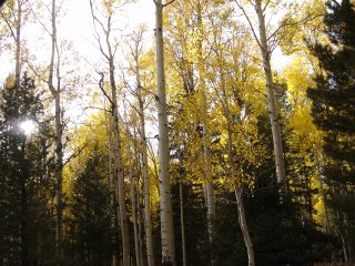
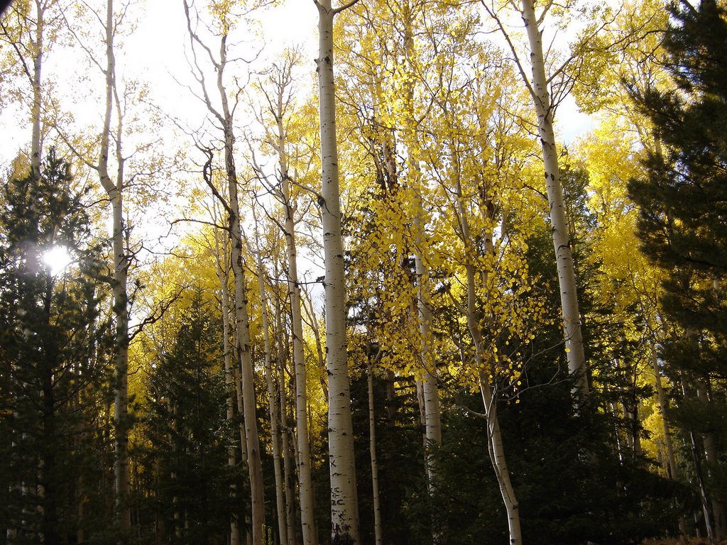
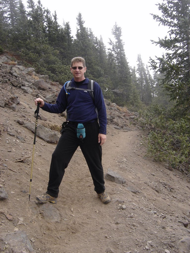
The aspens were all a bright golden yellow. They were the dominant tree on this climb. It was slightly chilly, in the mid-thirties. Partly cloudy, with a big fat cloud seemingly stuck right on top of the mountain.
We started out just as the sun was rising, our initial trailhead photos were too dim to post.

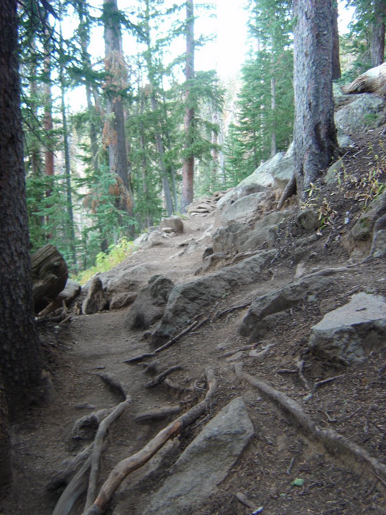
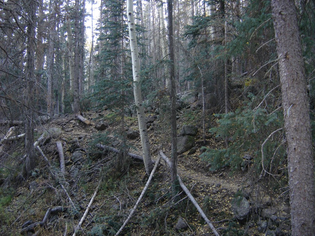
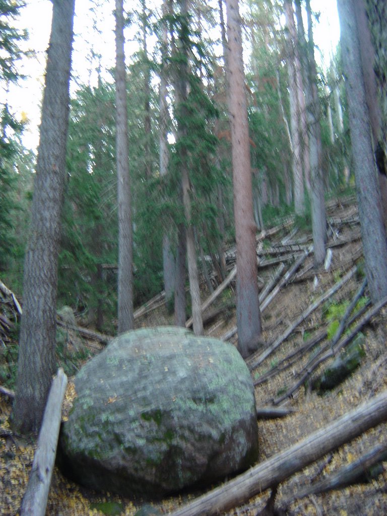
The first mile or so is fairly mild and heavily wooded. There was trail maintenance and clearing going on the first half mile, lots of downed trees - huge trees. This view is just past all the carnage, and everything started looking great from this point on. The trail was soft and padded, just a few roots and rocks to dodge.
The treeline is pretty high here, and several hikers chose to go just up past the treeline, checkout the view, and turn back.

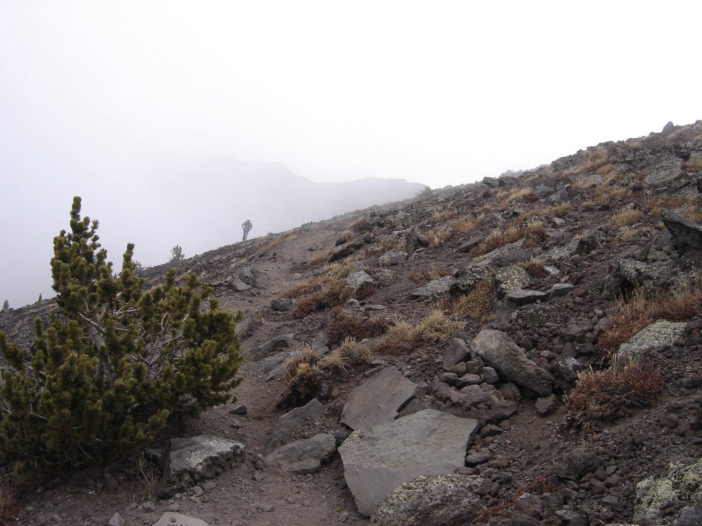
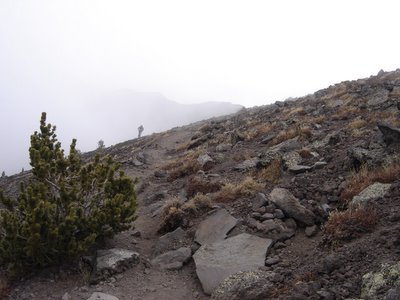
Note the trail getting steeper as we get into the thinner, smaller trees.....

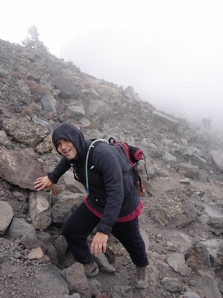
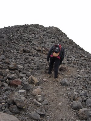
Thats me, mid climb, as we approach the last stand of trees.
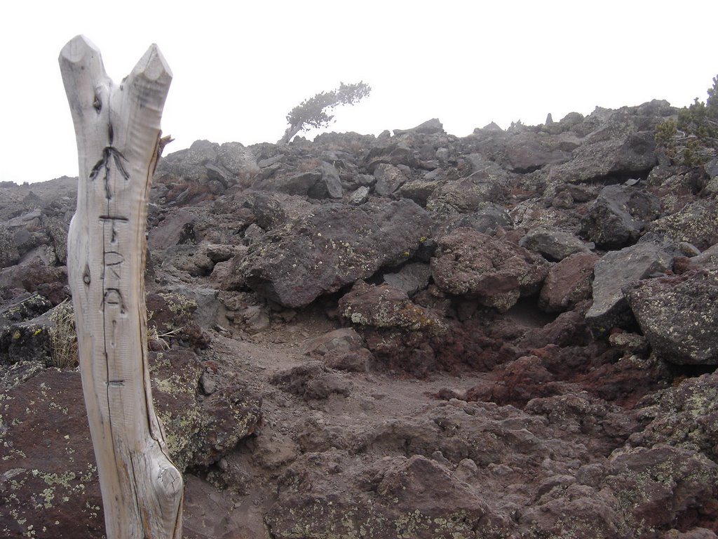
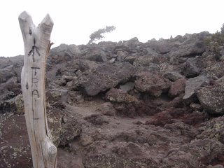
The photo below shows the trail markers when you hit the point where there's no discernible path..... note the single tree clinging on for life in the background.

Here's my nephew, Eric, from San Antonio, who joined me on this climb. One of my true joys in climbing is introducing newcomers to the hobby. Eric is a runner, so he had plenty of wind for the climb. He did quite well for a guy who lives at near sea-level. When I told him how tall Humphrey was, he was a little disappointed we weren't going to do a fourteener! This is plenty of mountain for a first climb, more than I'd recommend for most, if they weren't in pretty decent shape already.
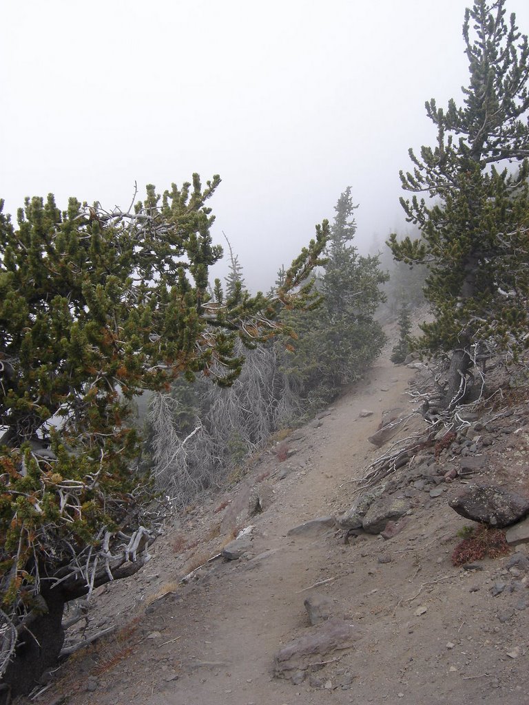
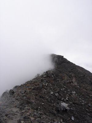
Notice the "whiteout" in the background. The trail skirted the edge of the cloud, limiting visibility to the north only, with just a few feet visibility to the south.
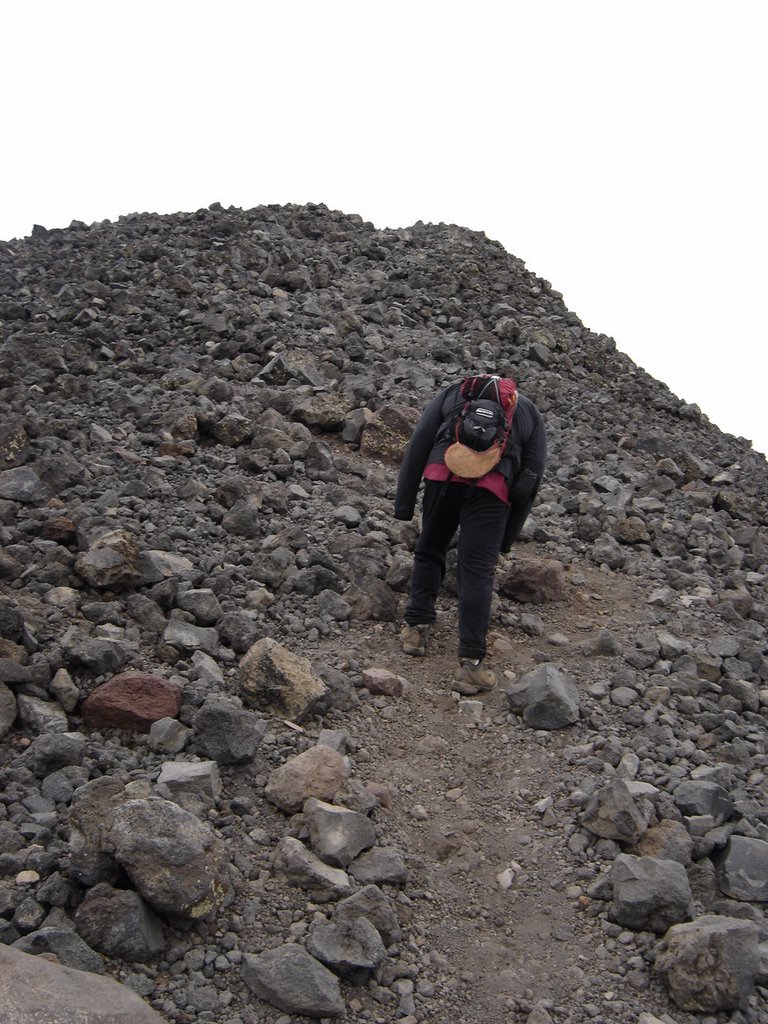
This view here is one of many false peaks. There are at least 4 times when you think "I'm almost there!", and - you're not.
Then you look up to the next peak and your heart drops as it looks
miles away.
If you look closely, in the center you can see two peaks ahead. There's actually a third peak slightly visible, and that's the top. When you're at this point, it appears daunting, but it's only another 10-15 minutes away.
This section was my favorite part of the climb. We've gotten right up into the cloud. On the left (south) visibility is pretty much zero. To the right, there was actually a view. It was very surrealistic, very much dreamlike, when combined with the effects of reduced oxygen, at about 12,000 feet, it was quite an experience. I love moments like this!
Here's a glimpse under the cloud cover. Usually grey clouds like this near the peak, with temperatures thirty or below, means there's going to be sleet or snow.........
Call me strange, but I think it's wonderful when you get a little snow at the peak on a climb! There were probably about forty people enjoying the summit, as the wind was unusually light. We ran into a boy scout troop, and I met a Kilimanjaro guide passing out business cards. (How great an idea was that! Go right to the potential clients, and, write off your trip as a business expense.) Met another guide for Mt. Rainier.
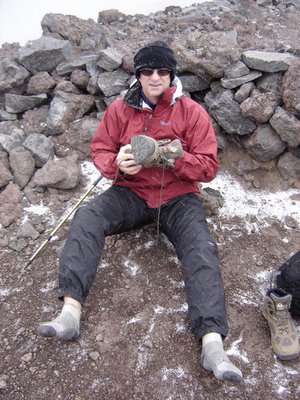
Oh, and I was taking off my shoes so I could undress and do and underwear shot on top! (Sorry, but I decided not to post them here. Didn't want to make Brad Pitt jealous....Email me privately for your copy) As it turned out, that was a bad influence for the Boy Scouts, as they took of their shirts to pose for some pictures of their own. I just love being a bad influence....
There is a nice windbreak to hide in for those times when the wind is howling. We didn't really need it today.
In closing, I'd like to share a couple of more photos. Don't you just love digital cameras? I was able to take about 125 shots, so it was hard to pick just a few.
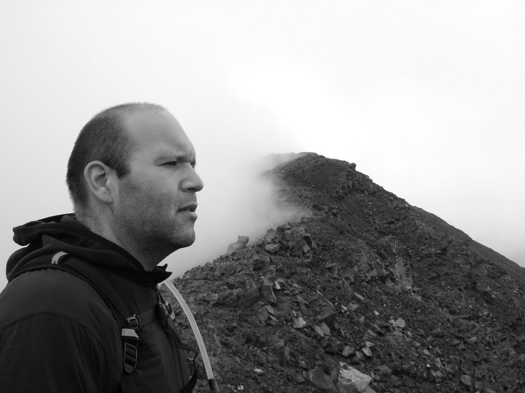
here's one of Eric, a black and white, on the trail at the clouds edge. You'll recognize the similar shot above, less Eric. This was his last road trip before he got married!

He looks so serious, eh?

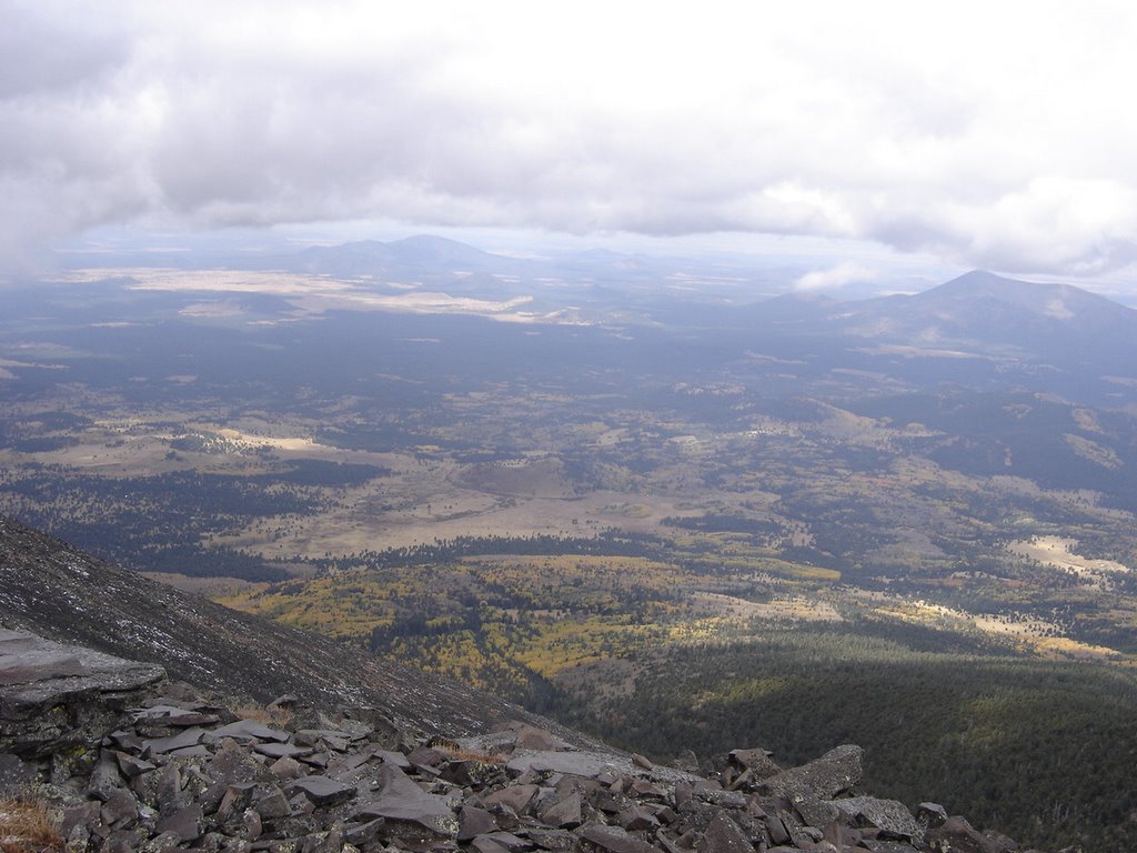
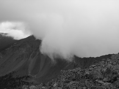
This was the most scenic vista, due to so much cloud coverage.
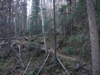

This is the area where all the downed trees were. There must have been 3 or 4 hundred of them, at least. Storm? Last years avalanche? I dunno.......
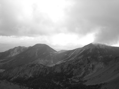
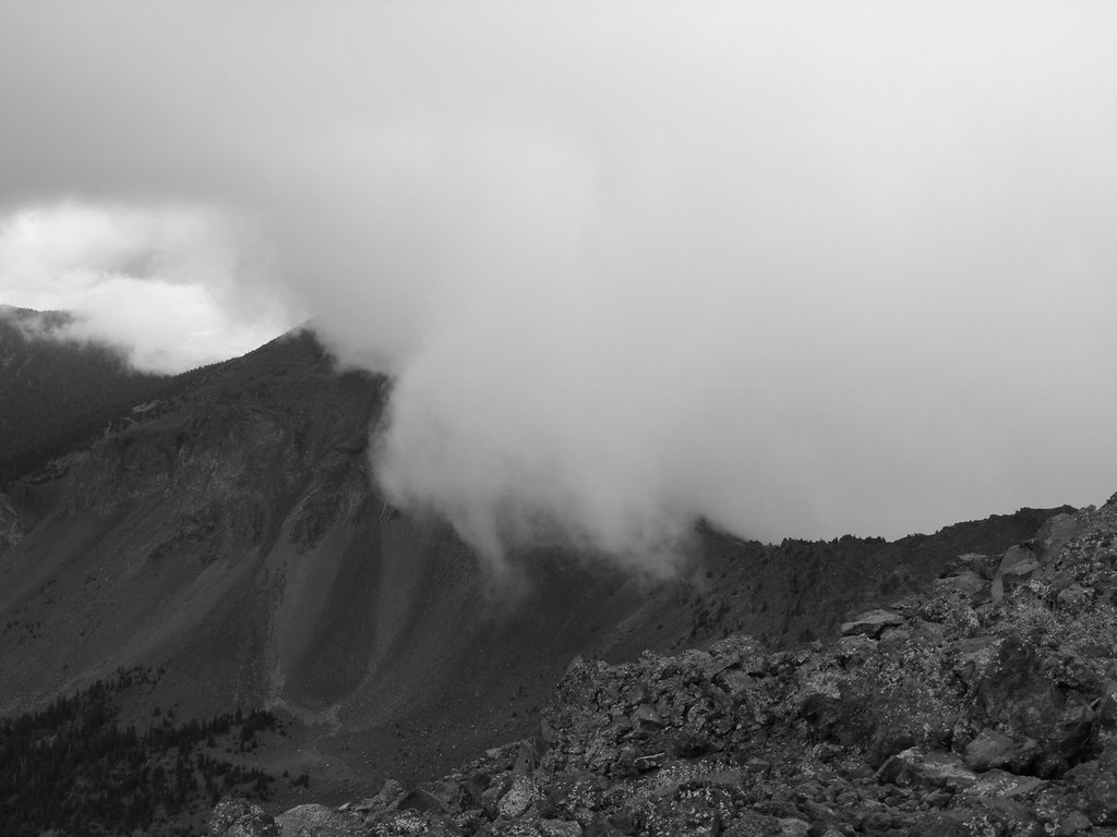
A look at some neighboring peaks in black & white.
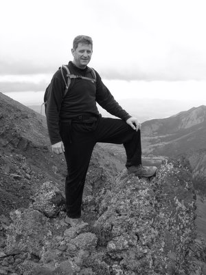
Author, in black & white.
Looking down on the pass, perhaps a mile below the summit.
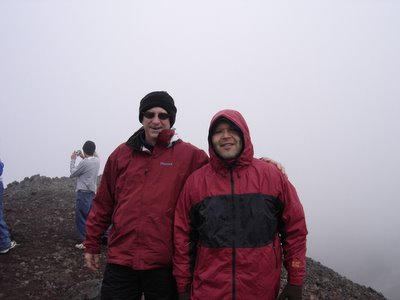
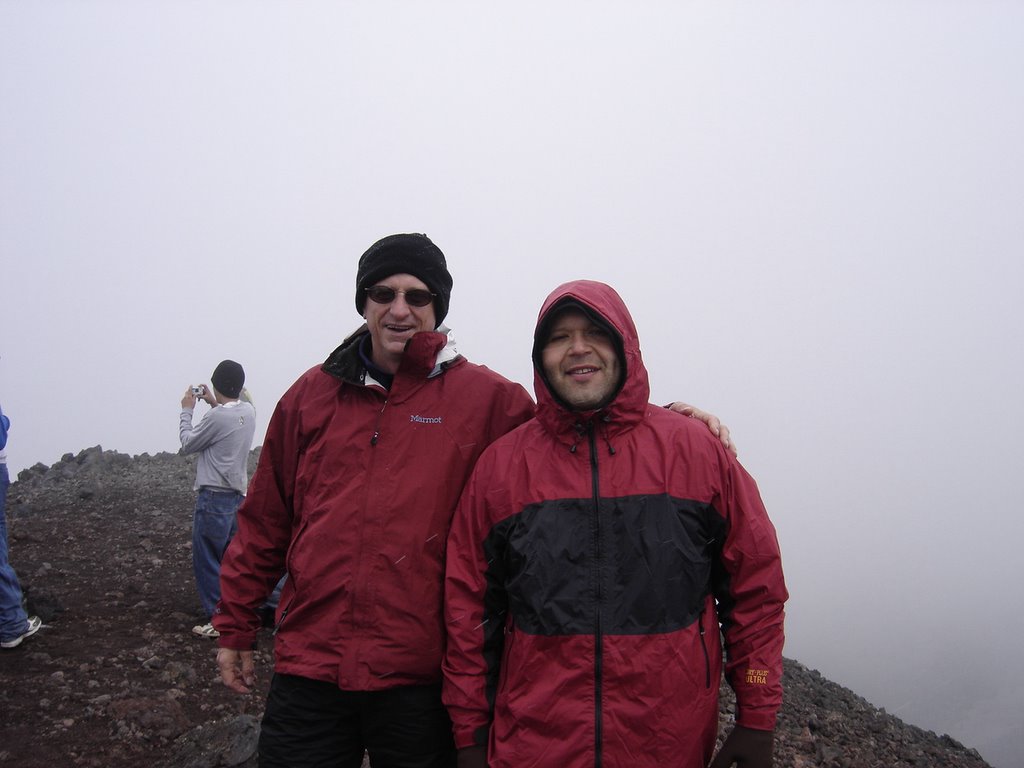
Eric and Rick, on the top!
Thank you for looking, and for visiting my Blog. If you've done this trip, or are planning to do it, please leave a comment. If you're a new visitor to the Blog, a little "howdy" note would be nice too. Just to know that more folks than my four friends who only look 'cause I bug them so much actually see this! Remember, climb often, be safe and have fun! Life is short!