Thursday, July 27, 2006

Mt. Whitney, CA


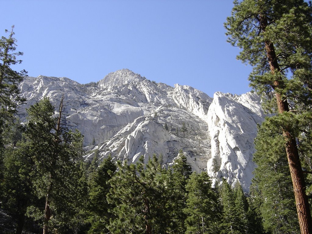
If you only do one peak in your life, do this one. (Have I said that before? If so, this overrides the previous statement.) 360 degrees of surround beauty from the trailhead to the top. It actually starts with this veiw from the parking area!
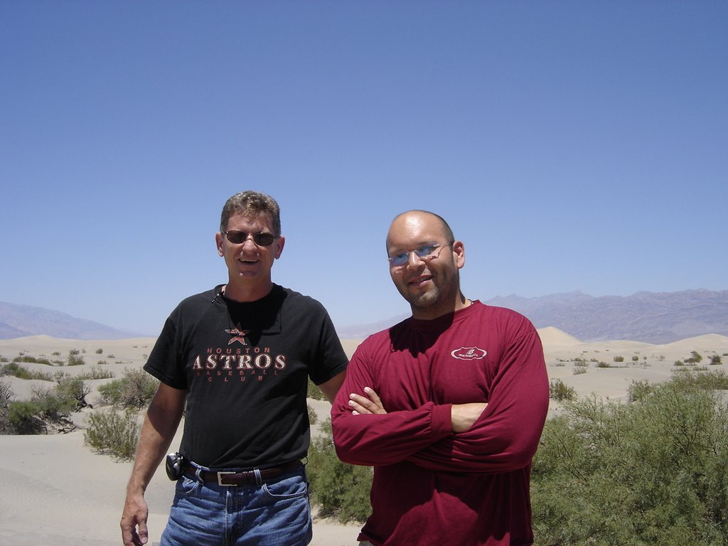


Somehow I again managed to coax my newphew, Eric (from October 2005 Arizona trip report) to join me! We flew into Vegas, rented a car, and drove straight to Lone Pine Ca and spent the night before in a nice bed. (The elevation is only 3000' or so, but it didn't seem to cause much of a problem). This photo was in Death Valley, which you'll pass thru if you come in from Vegas. Isn't it wonderful, the lowest point the lower 48 states so close to the highest!
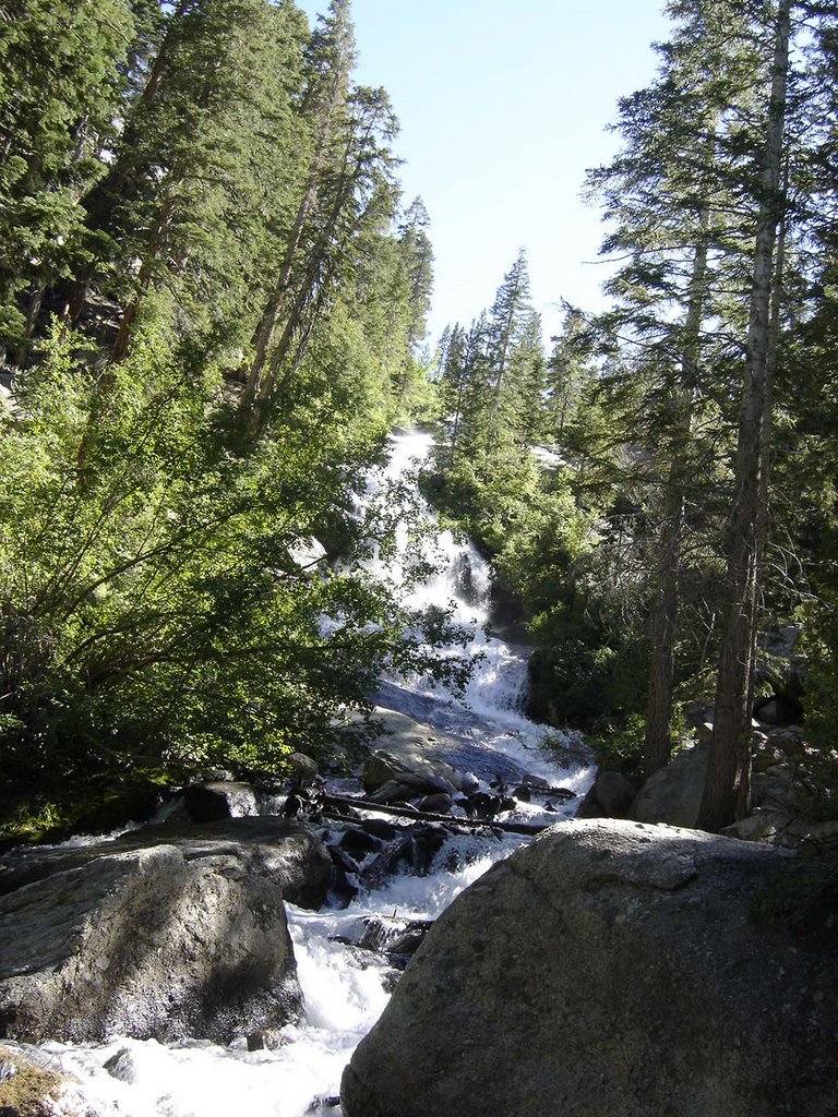


You'll be rewarded with many lovely waterfall views, they pop up everywhere along the way. This is the first one. You get to enjoy it from a several different viewpoints. Along the route there are MANY water crossings. I came across a study that stated most of the water had been tested and was drinkable non-filtered. I know many purists (or are they really purists?) will have a hard time with this, but we decided to go for at and drank straight from the stream at almost every crossing. We had no ill effects from this.
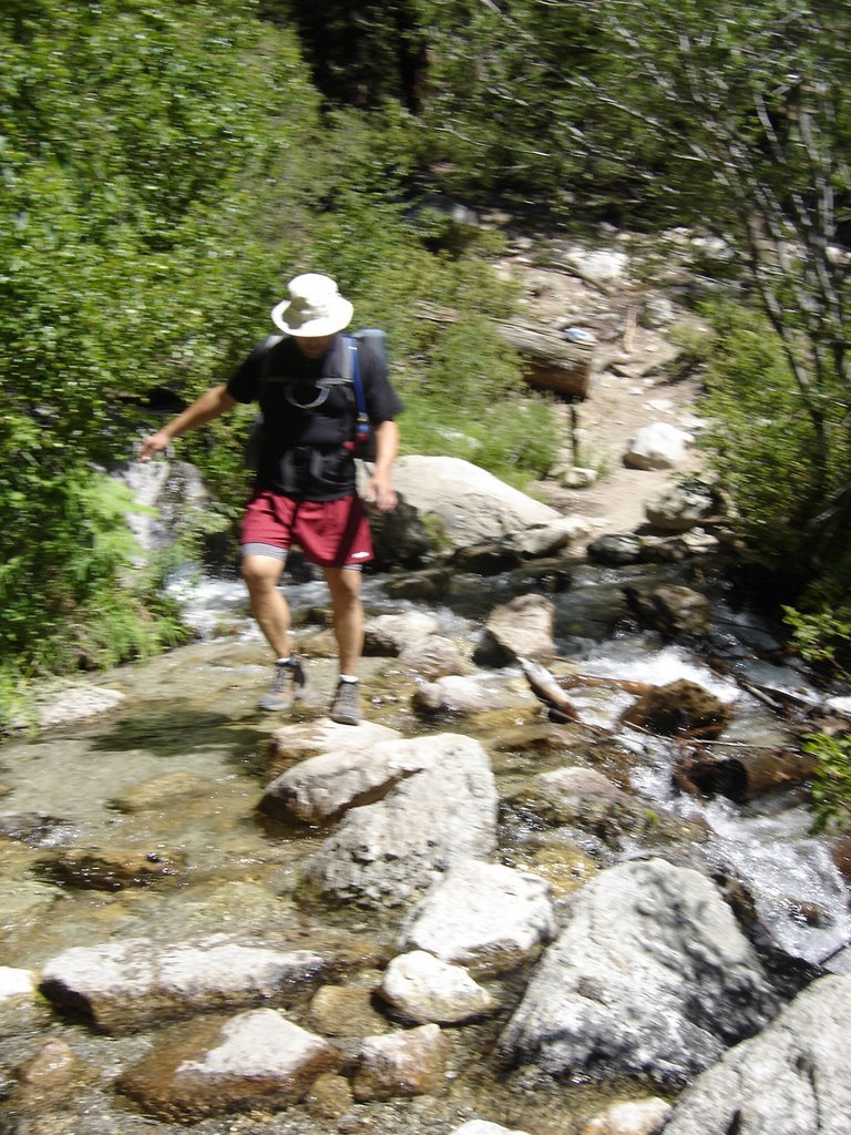


This is the first water crossing. Watch your step!
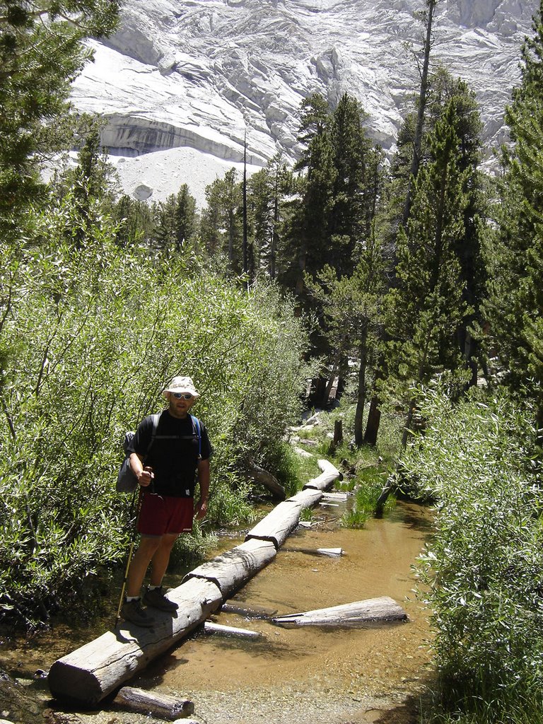


Followed by this series of hewn logs, which is much longer than it looks. The diversity along this hike is much more than most. Every corner offers a surprise...

You've probably already read that you have to enter a lotto
to get a permit. Not to worry, perhaps we were just lucky, but we got a permit our first try, and on one of our preferred weekends. (You get to list several alternate date \ ranges.
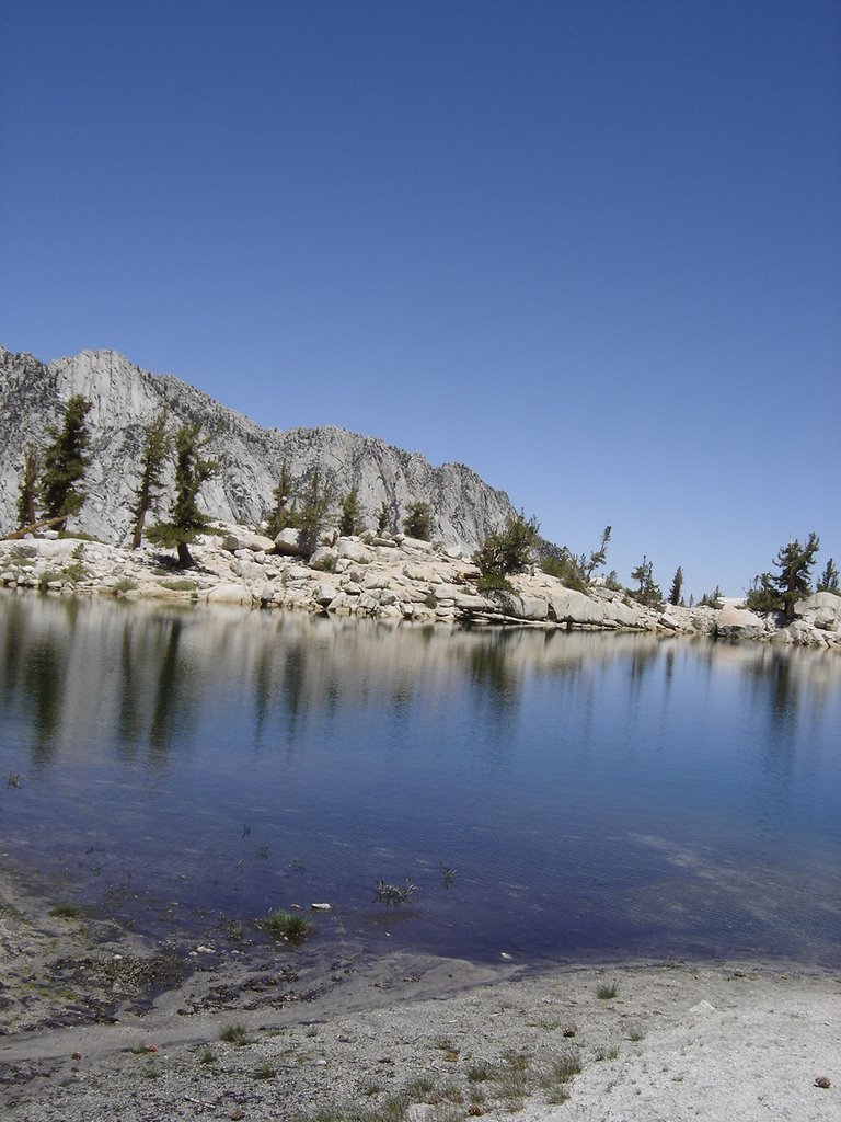

Bring plenty of film (or memory stick space) as you'll find many breathtaking views, such as Lone Pine Lake, to fill your scrapbook when you get home.


This is a great spot to stop for a breather. In fact, if you just hiked to this spot, had lunch, and turned around and went back, this would still be a wonderful hike.


However, you're only about a third of the way to the top, so there are a lot more vistas to awe you.
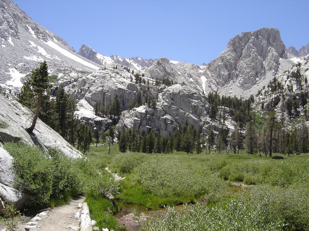


This meadow lies just past Lone Pine Lake, I wish we had had more time here, but we wanted to get to a spot another mile or so, just past the treeline for our camp. The water here is plentiful, no need to carry a lot.


After climbing out of the meadow, there is a great spot to camp, away from the group camps, and just shy of halfway to the top. There are some level bivy spots on each side of the trail, within a short walk of a great trailside water stop.
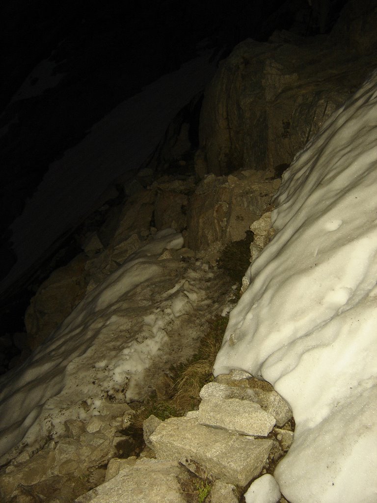


We started out at about 4:30 am, with enough moonlight to render our headlamps useless. We switched them off shortly after passing up our first snowbank.
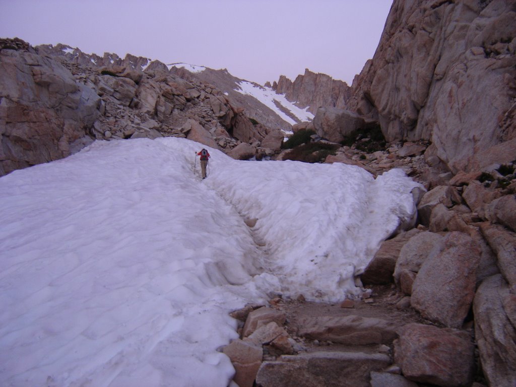


The snowbanks kept getting more and more interesting. Keep in mind, this is mid-summer.


As the melting snow rushed under this lump of snow forming a fairly loud waterfall, I could just see it crumbling beneath us. Fortunately, it didn't.

I did, however, walk very SOFTLY.....


The sun was still just barely peeking over the horizon behind us.


And the morning climb gave away to a short, flat section, which offered up my first alpenglow views!
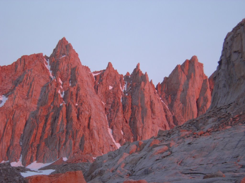


Whenever I see shots like this, I wonder if they were tweaked. Well, they don't have to be. It's very surrealistic.


Between the lack of oxygen, and the surroundings, you get somewhat of a natural high here.
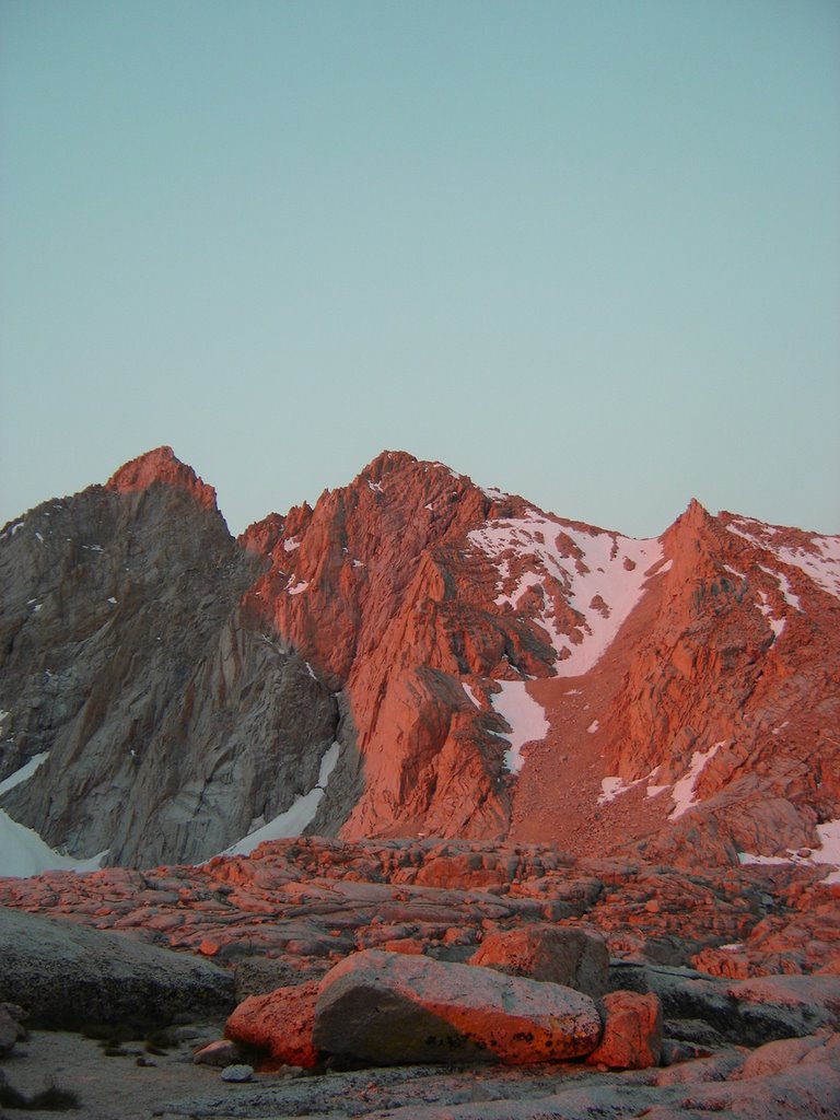


Once sunrise is over, the fancy colors fade, and everything


returns to it's original grey and and white chalk.


Its fun while it lasts, though.

The easy part is about to end, and the real climbing is about to begin.
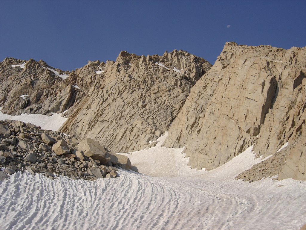


This nice yet rugged snowfield lies just off to the left of the trail, just before the switchbacks begin.

It looked hard and choppy, yet, almost skiable.

I was about a half mile long, I'd estimate.
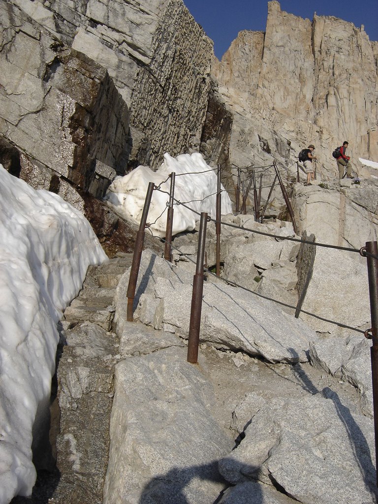


This section of cables and poles looks more difficult than it really is. Here I'm gaining on a couple of other climbers. Overall, everyone was pretty spread out, considering the number of people per day who summit. The experience is still very personal.
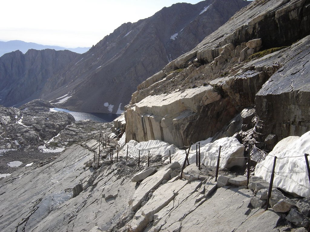


A look down from the cables, back towards Trail Camp. Be sure to fill up the water bottles at the bottom of the switchbacks. No more easy water from there up.
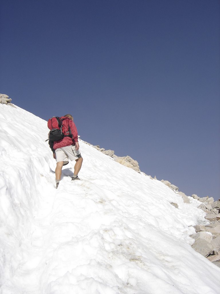


This was clearly the most difficult snowbank to navigate. After this, it was just a long, rocky climb. This is about the 2/3 rds of the way point.
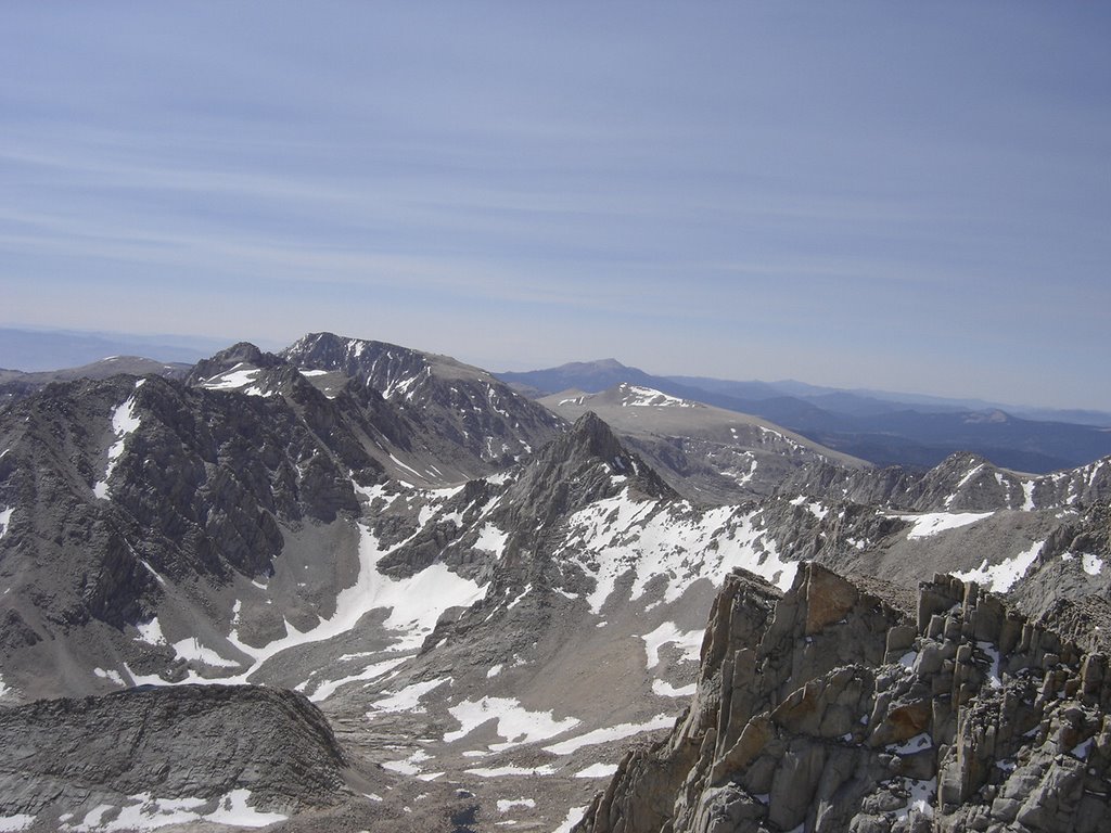


The views get better and better, yet, we were becoming very tired. Lack of oxygen becomes more apparent.
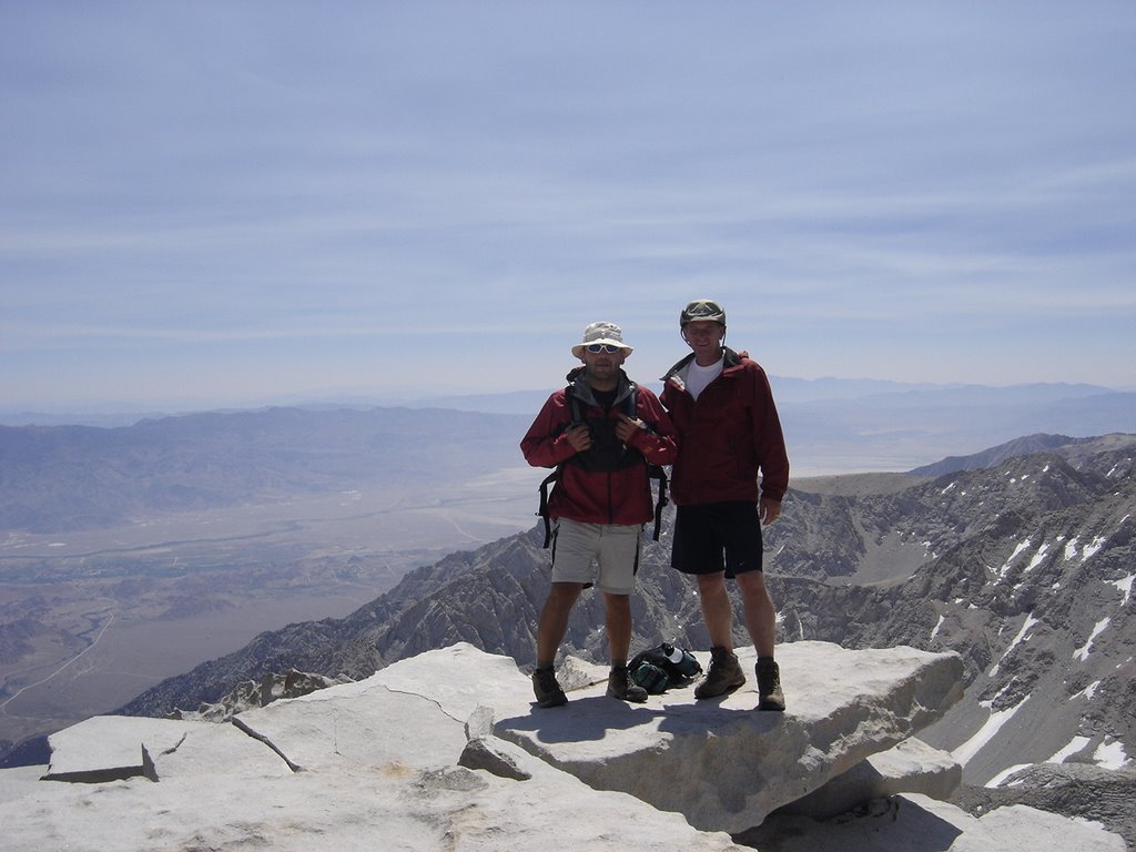


Victory at last! Rick and Eric at the Summit of Mt. Whitney! We headed back down, and became re-energized when we got about half way down the swichbacks. We had planned to camp again, but decided on a one hour nap back at camp. From there we hiked on out to the trailhead.

Monday, May 29, 2006

Black Mesa, Oklahoma


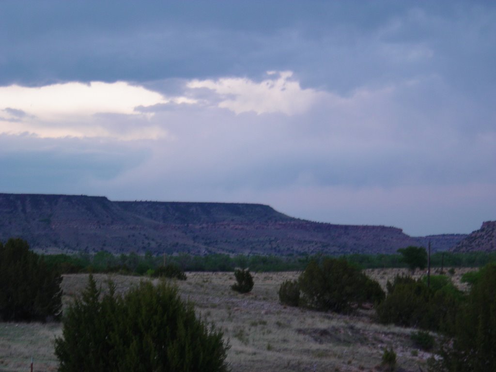
Black Mesa got it's name from the color of the lava rock found on top.


This is an easy hike, but long enough to tire you out, at 8.5 miles round trip. The climb is very short. Most of your time is spent on the flat land around the bottom, it's a little over 2 miles before you actually reach the inclined trail.

There was no cell phone service here in May of 2006. There is a payphone across from the mercantile, and a phone inside the mercantile that you can use during business hours.


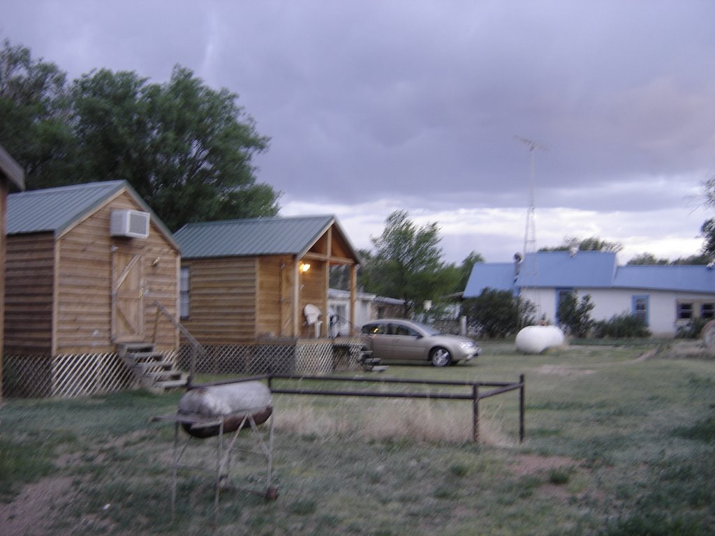
A good place to stay, the nite before your climb, would be the Kenton Kabins, located in Kenton, Ok. Small, and somewhat sparse, but CLOSE to the trail head - maybe a 10 minute drive.

Don't expect much as far as snacks, trail food, or any breakfast at the mercantile next door. Bring your dinner, breakfast and trail food with you, and maybe a bottle of wine to enjoy. Get the larger cabin if you want to sit on the porch at nite.

http://www.geocities.com/kenton_merc/Kabins.html


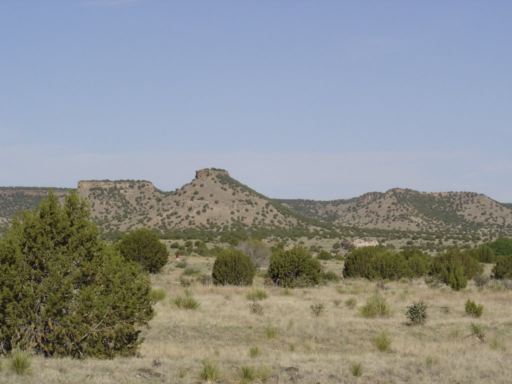
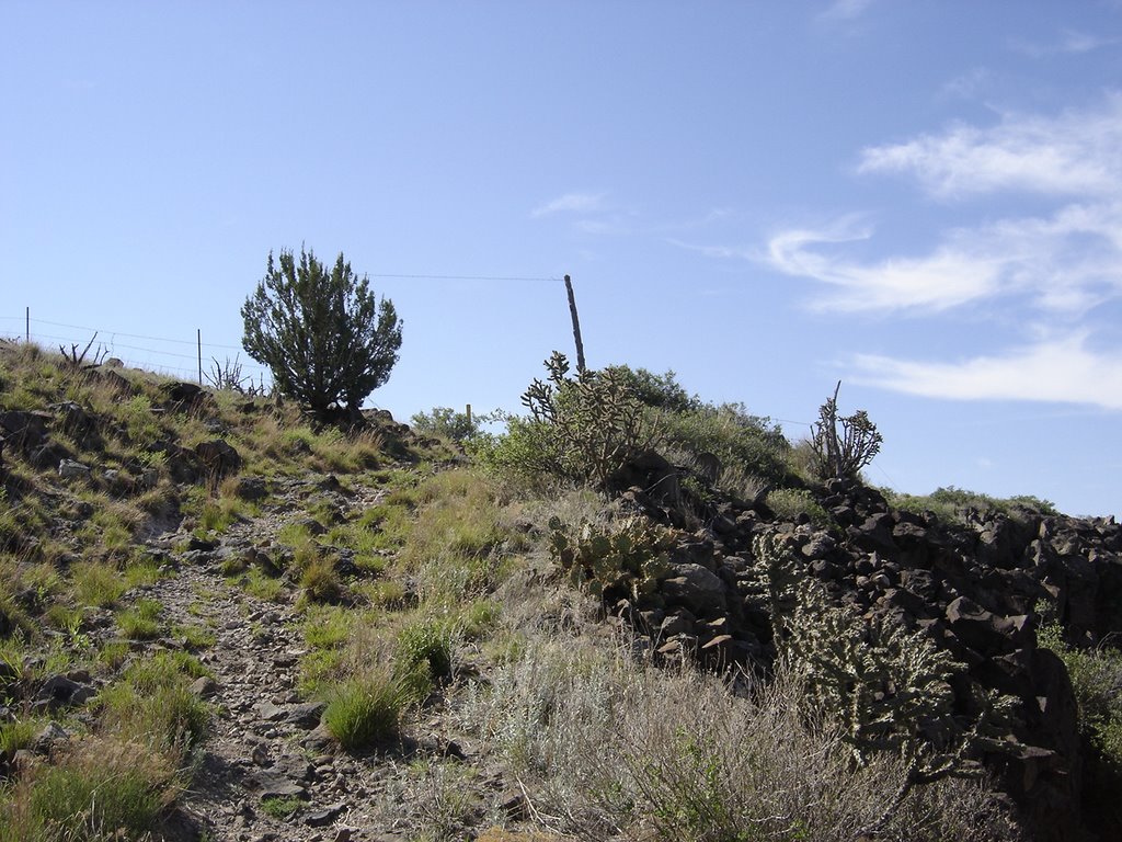
This is how the approach looks. You'll pass several high areas on your left, and wonder why the heck you aren't climbing up yet.

On the day I climbed, it was 82 degrees when I started at around 9:30 am, and got up to 102 on the top in just a couple of hours! The humidity was low, around six percent, so even above 95 degrees was comfortable as there was a breeze.


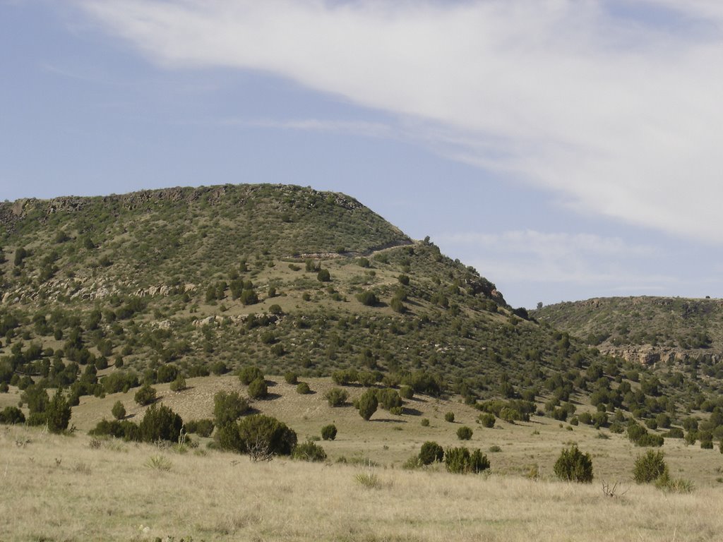
When you get to this point, the trail cuts to the left, and you begin to see the switch backs that take you to the top. Not very steep for the most part, and not a very long climb.


Just before you reach the top, the trail looks like this......


And if you turn and look directly behind you.......


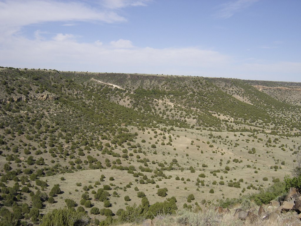
It looks like this! This area looks pretty much the same for miles in every direction. Vast. Flat. With mesas popping up all over.


Today, May 20th, was "Cops on Top" day, commemorating fallen heros. Summit attempts were made on most US highpoints. At the time of this post, I'm not sure if everyone was successful. From the info on their website (see below), it looks like a few peaks were unatainable. Regardless, it was nice to be there as the Oklahoma team, from Edmond, made the trek to represent the Edmond P.D. It was nice meeting this group, including Bryan Weathers. It certainly made the trip more interesting!
http://www.copsontop.com/climblog/CategoryView.aspx?category=2006

(Note) Bryan was probably the only highpointer in the country who changed a "poopy diaper" while at the highpoint! That was quite a trip for his little guy - who was probably the youngest highpointer of the day.


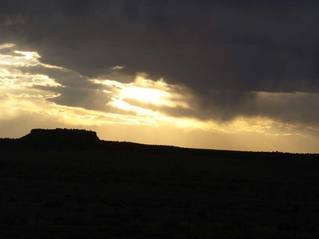
And at the end of the day, expect a spectacular sunset!

Sunday, May 28, 2006

Sunflower Mountain* Kansas

The most striking part of visiting this highpoint isn't the highpoint itself, but the trip to get to it.

I drove up from Black Mesa, Oklahoma, after doing that highpoint the day before. I highly recommend driving up through western Kansas to see this point. It is so VAST, it can't be captured in photos. Mile after mile of crops, animals and snakes along the roadside, an very few buildings or people. It's quite incredible if you've never seen it.


The guest register is in this mailbox. It's filled with the usual mix of profound writing of finding one's inner self, along with a few not-so-profound entries.
It's always fun to read a few pages. The log showed four visitors on this day, on a weekend no less. I guess more people are drawn to the highpoints that involve a nice hike.


The garden sculpture is the only thing to see for miles, other than emptiness. This is a good place to just sit quietly and reflect on life. The endless open expanse makes one feel somewhat insignificant and small.


You can see the curvature of the earth on the horizon. This road leaving the parking lot is a contrast to your average traffic jam!

Friday, April 07, 2006

2006 Planned Climbs

I've still got to post a couple of trip reports, but right now all I can think about are this years climbs: Mt. Whitney in July, Mt. Katahdin in June, and hopefully Black Mesa and Sunflower Mt. in May. I need to come up with at least one more to add this year as well.

Heres a cool link to a Highpoint Checklist you can use for updating!

http://www.listsofbests.com/list/1516/compare/ricksteven

Friday, October 14, 2005

Grand Canyon


So, the same day Eric and I climbed Humphrey in Az, we drove over to the Canyon that afternoon. We were tired, but we did manage to poke around some at the rim before retiring to the hotel.


We hadn't done any research, so we just played it by ear. We were both awed by it, and were pretty much just walking around with our mouths hanging open for a while. Here Eric looks like he's ready to try to fly. Don't worry, he didn't really try.


This is a shot of Horseshoe Mesa, from the rim. It looks far away. It is. We only had about 5 hours of daylight left, and toyed with hiking to the bottom, and back.
We would have spent the night and cowboy camped, but we had to get back to Phoenix the next day, early in the afternoon, so an overnighter wasn't in the cards. The mesa is just right of center in the photo above.


We made it to the mesa, but after exploring the area, which was an old mining site, we didn't have time to descend the last 1000 feet to the bottom of the canyon.


This is an old mining house on the mesa. We had lunch and rested here for a while, as we contemplated what it must have been like to live and work down here.

Other than not having a roof, the structure is pretty much intact. In the background you can see the mesa, which is closer than it looks.


This is one of three or four open mine shafts. This one is rather shallow, opening up horizontally into a ten by ten foot room. A perfect base camp, no need for a tent. Another shaft we found went straight down about thirty feet before veering off. Too bad we didn't bring rope!


Endless climbing and scrambling opportunities. We took a ton of photos. Yes, we'll be back. Soon.


This place is calling me to come back again. I'd love to spend at least four days down in the canyon.

Thursday, October 13, 2005

Humphrey Peak, Az


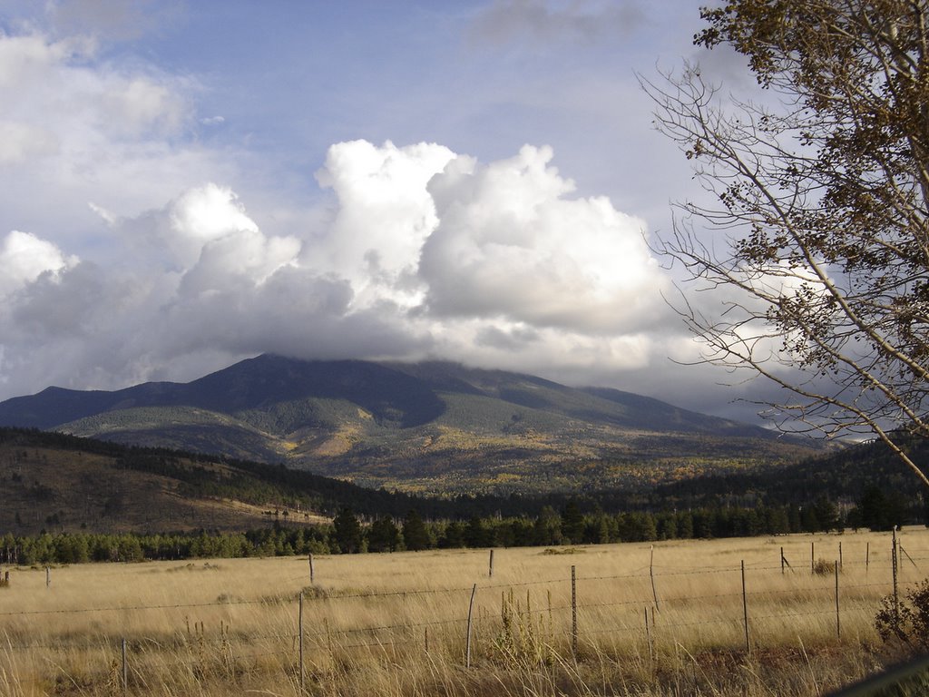
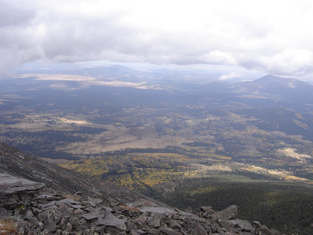
This view shows the cloud that dominated about half of the climb. It doesn't look like it's 12,633 from here, does it? The elevation here is about 8,500, so it just looks like another little "4k footer" from here.

Some good ol boy at the trail head told us it was only about a 4 hour round trip. (It's about nine miles) It took us about 7 1/2 hours.

We picked the last recommended week to climb, according to the guide books. Any later than mid October can mean running into snow.

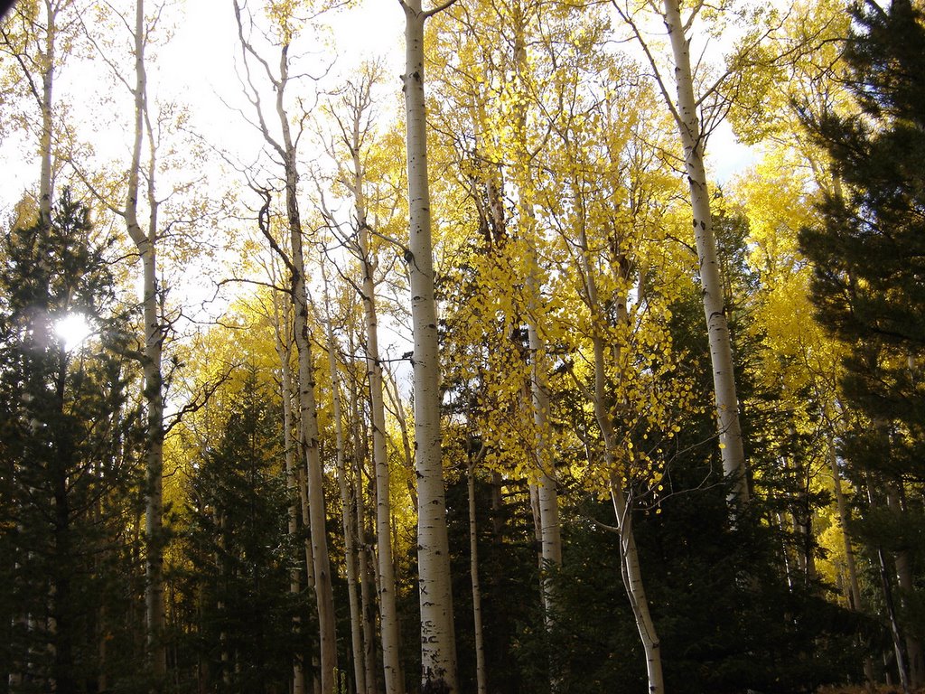
The aspens were all a bright golden yellow. They were the dominant tree on this climb. It was slightly chilly, in the mid-thirties. Partly cloudy, with a big fat cloud seemingly stuck right on top of the mountain.

We started out just as the sun was rising, our initial trailhead photos were too dim to post.


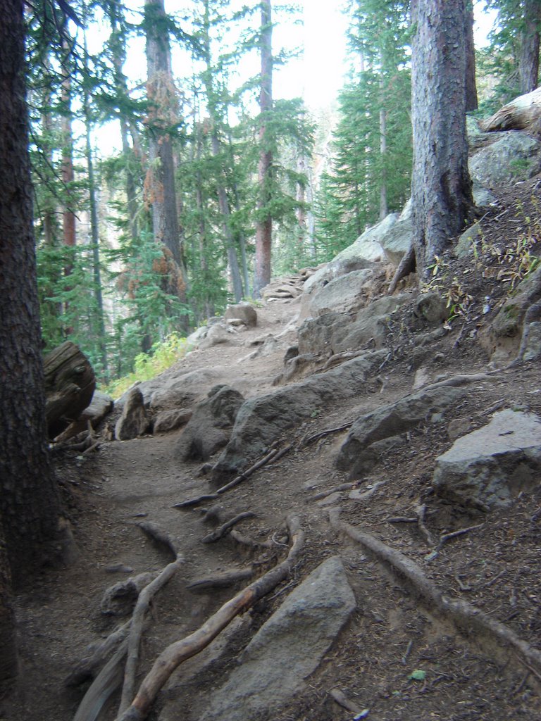
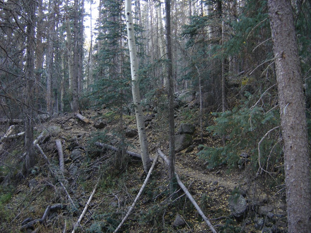
The first mile or so is fairly mild and heavily wooded. There was trail maintenance and clearing going on the first half mile, lots of downed trees - huge trees. This view is just past all the carnage, and everything started looking great from this point on. The trail was soft and padded, just a few roots and rocks to dodge.

The treeline is pretty high here, and several hikers chose to go just up past the treeline, checkout the view, and turn back.


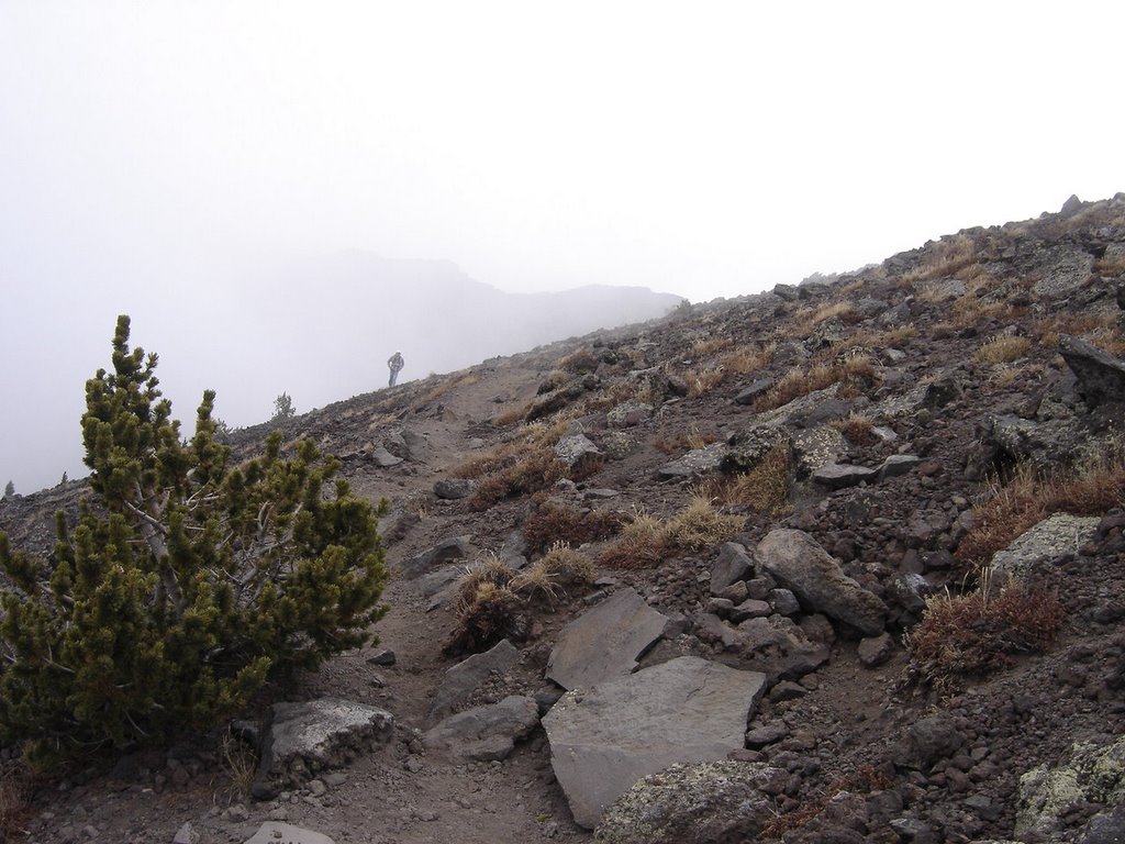
Note the trail getting steeper as we get into the thinner, smaller trees.....


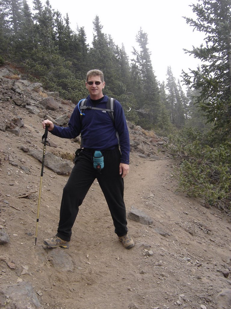
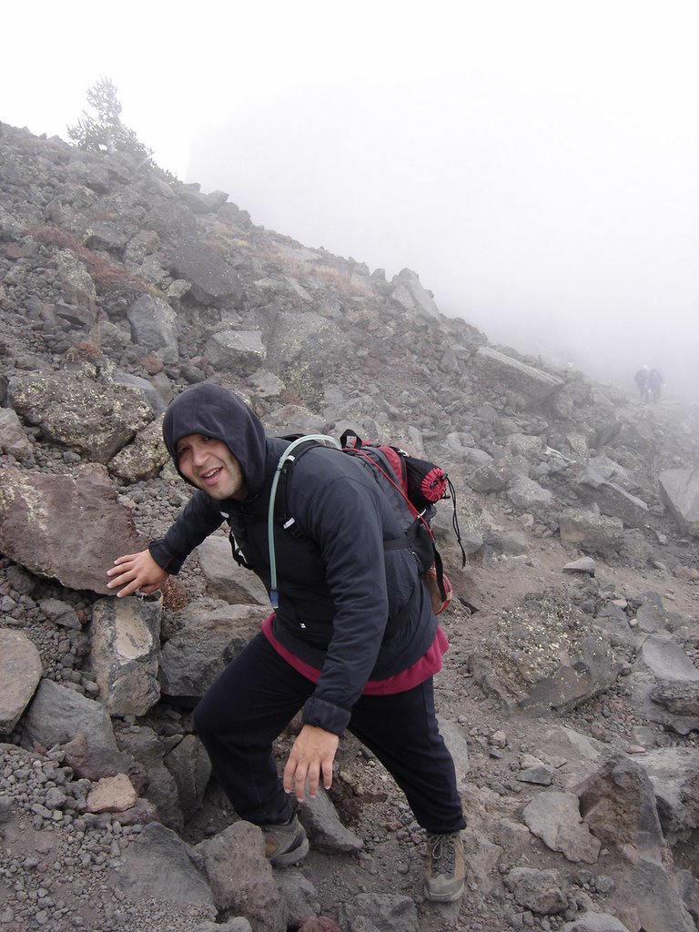
Thats me, mid climb, as we approach the last stand of trees.


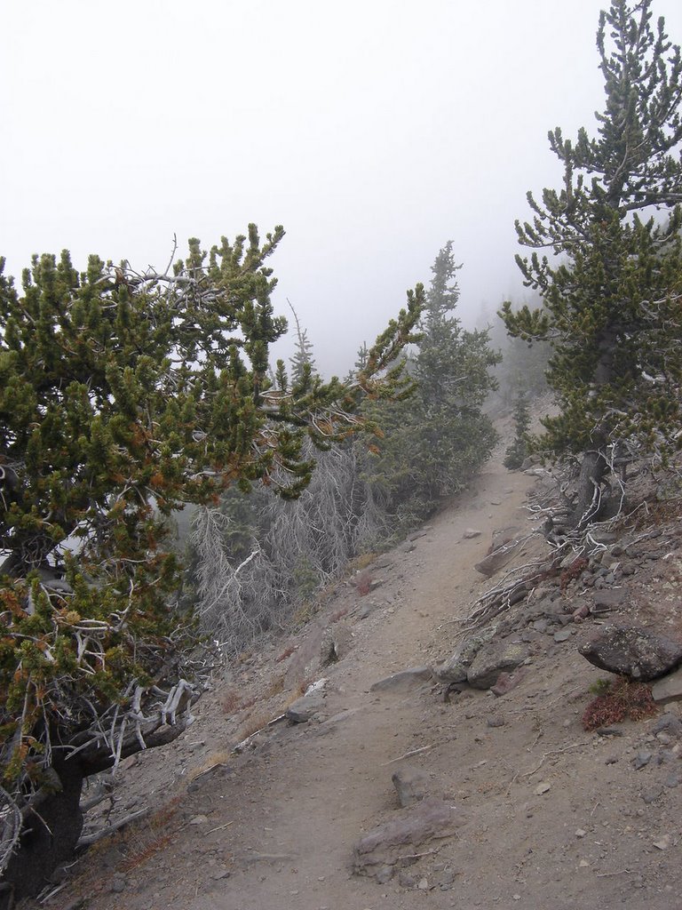
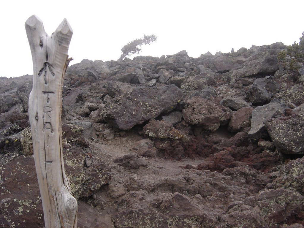
The photo below shows the trail markers when you hit the point where there's no discernible path..... note the single tree clinging on for life in the background.


Here's my nephew, Eric, from San Antonio, who joined me on this climb. One of my true joys in climbing is introducing newcomers to the hobby. Eric is a runner, so he had plenty of wind for the climb. He did quite well for a guy who lives at near sea-level. When I told him how tall Humphrey was, he was a little disappointed we weren't going to do a fourteener! This is plenty of mountain for a first climb, more than I'd recommend for most, if they weren't in pretty decent shape already.

Notice the "whiteout" in the background. The trail skirted the edge of the cloud, limiting visibility to the north only, with just a few feet visibility to the south.


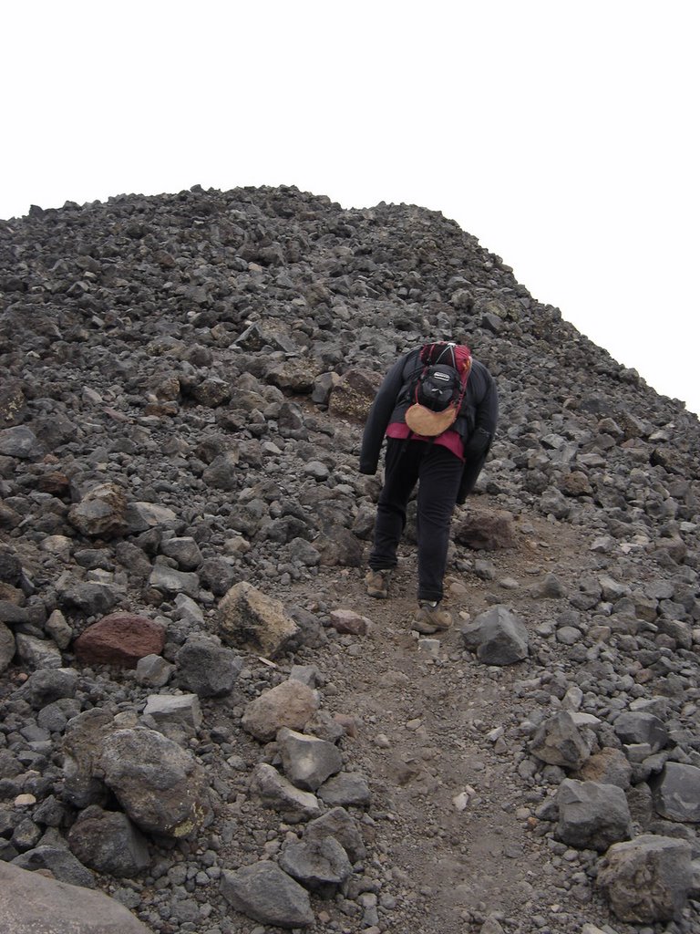
This view here is one of many false peaks. There are at least 4 times when you think "I'm almost there!", and - you're not.

Then you look up to the next peak and your heart drops as it looks miles away.


If you look closely, in the center you can see two peaks ahead. There's actually a third peak slightly visible, and that's the top. When you're at this point, it appears daunting, but it's only another 10-15 minutes away.
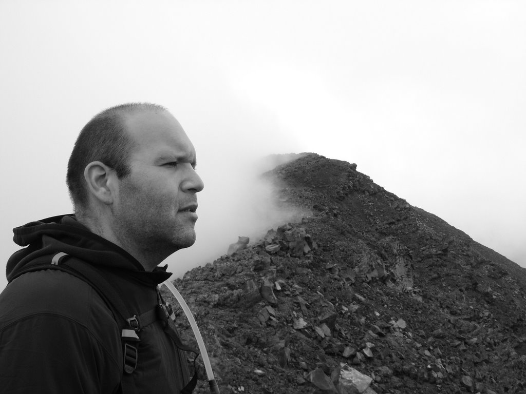


This section was my favorite part of the climb. We've gotten right up into the cloud. On the left (south) visibility is pretty much zero. To the right, there was actually a view. It was very surrealistic, very much dreamlike, when combined with the effects of reduced oxygen, at about 12,000 feet, it was quite an experience. I love moments like this!


Here's a glimpse under the cloud cover. Usually grey clouds like this near the peak, with temperatures thirty or below, means there's going to be sleet or snow.........


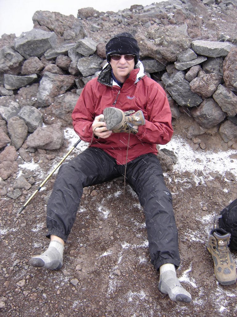
Call me strange, but I think it's wonderful when you get a little snow at the peak on a climb! There were probably about forty people enjoying the summit, as the wind was unusually light. We ran into a boy scout troop, and I met a Kilimanjaro guide passing out business cards. (How great an idea was that! Go right to the potential clients, and, write off your trip as a business expense.) Met another guide for Mt. Rainier.

Oh, and I was taking off my shoes so I could undress and do and underwear shot on top! (Sorry, but I decided not to post them here. Didn't want to make Brad Pitt jealous....Email me privately for your copy) As it turned out, that was a bad influence for the Boy Scouts, as they took of their shirts to pose for some pictures of their own. I just love being a bad influence....

There is a nice windbreak to hide in for those times when the wind is howling. We didn't really need it today.

In closing, I'd like to share a couple of more photos. Don't you just love digital cameras? I was able to take about 125 shots, so it was hard to pick just a few.

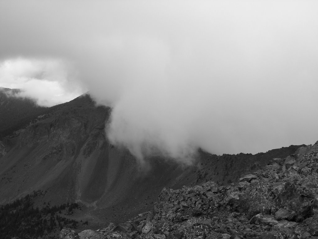
here's one of Eric, a black and white, on the trail at the clouds edge. You'll recognize the similar shot above, less Eric. This was his last road trip before he got married!


He looks so serious, eh?


This was the most scenic vista, due to so much cloud coverage.


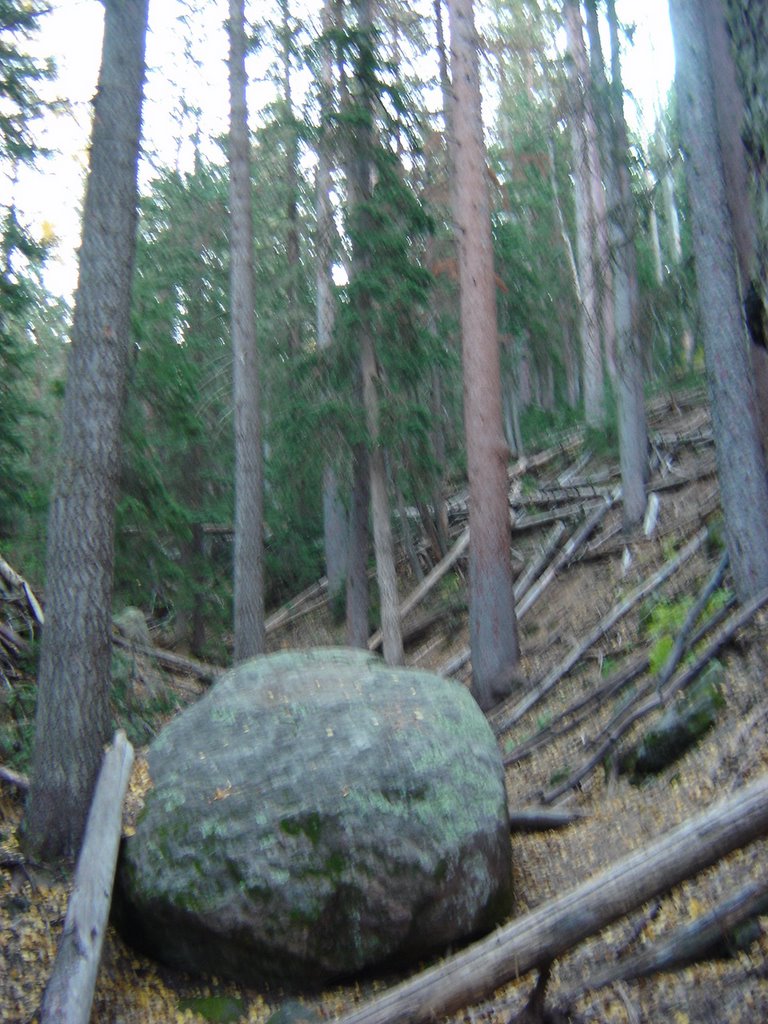
This is the area where all the downed trees were. There must have been 3 or 4 hundred of them, at least. Storm? Last years avalanche? I dunno.......


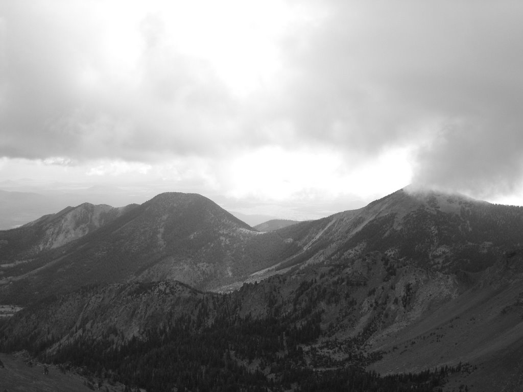
A look at some neighboring peaks in black & white.


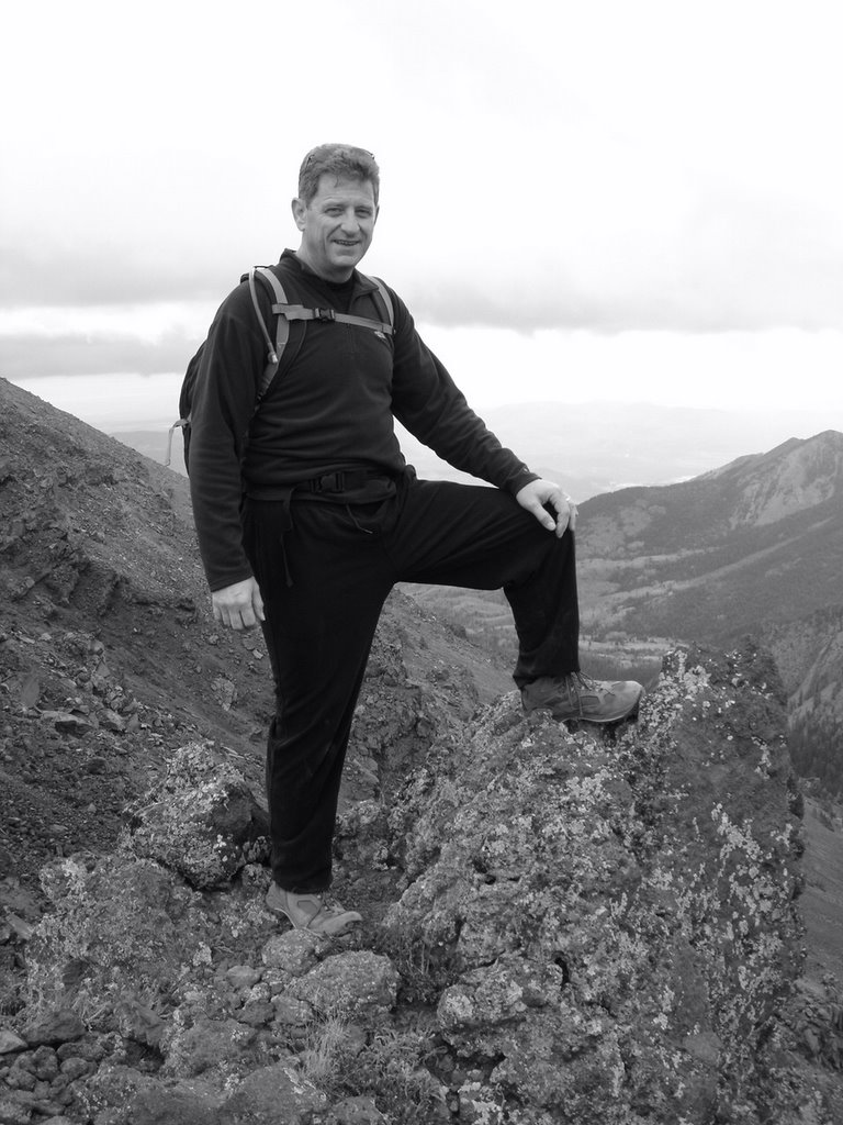
Author, in black & white.


Looking down on the pass, perhaps a mile below the summit.


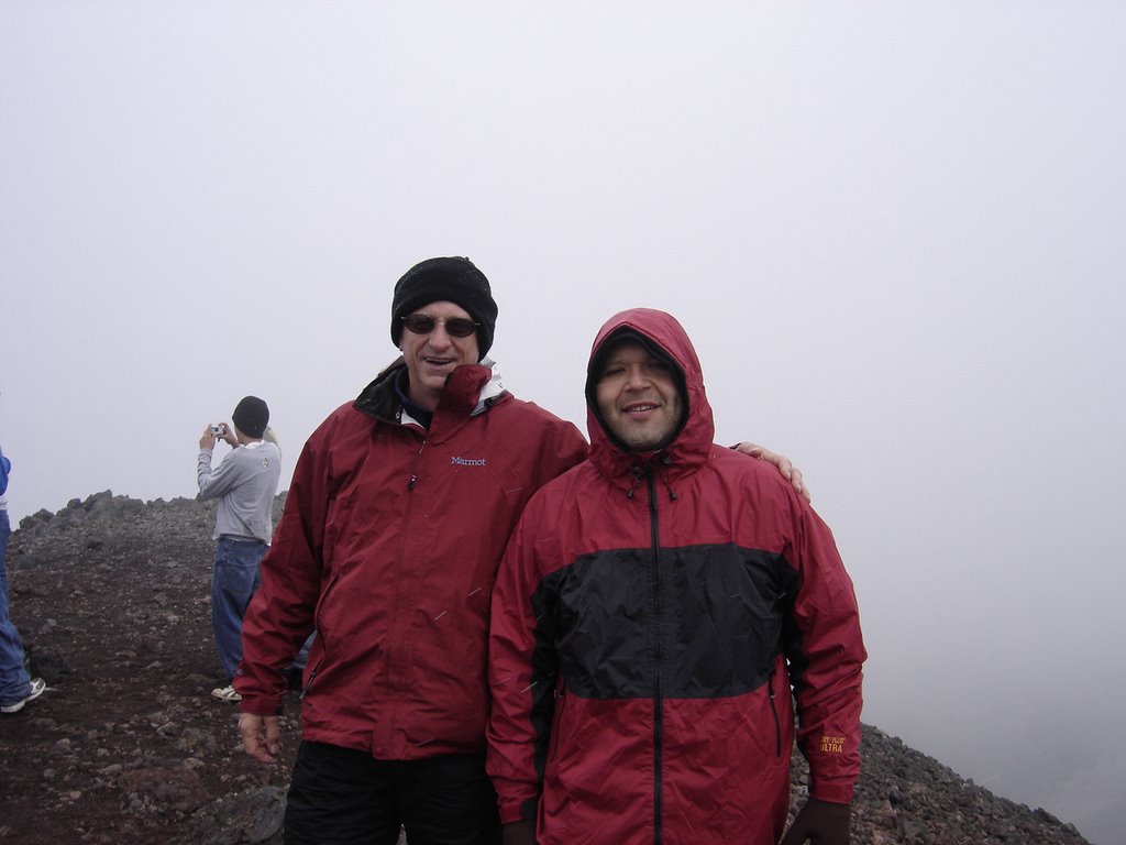
Eric and Rick, on the top!

Thank you for looking, and for visiting my Blog. If you've done this trip, or are planning to do it, please leave a comment. If you're a new visitor to the Blog, a little "howdy" note would be nice too. Just to know that more folks than my four friends who only look 'cause I bug them so much actually see this! Remember, climb often, be safe and have fun! Life is short!